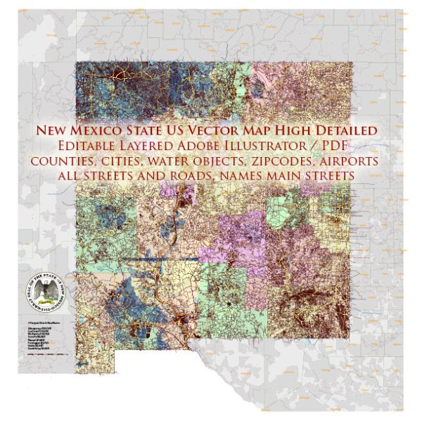
New Mexico, like many states in the United States, relies on a variety of water resources and bridges to support its infrastructure and economy. Here’s an overview of water resources and bridges in New Mexico:
Water Resources:
- Rio Grande River: The Rio Grande is the most significant river in New Mexico. It flows from Colorado through New Mexico and forms a natural border between the United States and Mexico. The Rio Grande provides water for irrigation, drinking water, and recreation in the state.
- Pecos River: The Pecos River flows through eastern New Mexico, providing water for agriculture and supporting the region’s ecosystems.
- San Juan River: Located in the northwestern part of the state, the San Juan River is a major tributary of the Colorado River. It is a vital water source for the Four Corners region.
- Groundwater: New Mexico relies on groundwater from aquifers to meet its water needs. These aquifers can be found throughout the state, and they are essential for agriculture and municipal water supplies.
- Reservoirs: New Mexico has several reservoirs, including Elephant Butte Reservoir and Navajo Reservoir. These reservoirs are used for water storage, irrigation, and recreational activities.
- Chaco Lake: This artificial lake is part of the Elephant Butte Reservoir system and provides recreational opportunities for boating and fishing.
Bridges:
New Mexico has an extensive network of bridges that help facilitate transportation and connectivity within the state. Some notable bridges include:
- Rio Grande Gorge Bridge: Located near Taos, this bridge spans the Rio Grande Gorge and offers stunning views of the canyon. It’s one of the state’s iconic bridges.
- San Francisco Street Bridge: This historic truss bridge in Santa Fe is a well-known landmark, serving as a vital transportation route in the city.
- I-40 Bridge over the Rio Grande: This major interstate highway bridge crosses the Rio Grande in Albuquerque, connecting the city and serving as a key transportation route.
- Rio Puerco Bridge: This bridge carries Interstate 40 over the Rio Puerco west of Albuquerque and is important for cross-state travel.
- Chama River Bridge: Located in northern New Mexico, this bridge is a crucial part of the transportation infrastructure, connecting various communities.
New Mexico’s water resources and bridges play a significant role in supporting the state’s economy, transportation, and quality of life. They are essential for agriculture, tourism, and ensuring people can travel and access the resources they need. However, it’s essential to manage and maintain these resources to ensure their sustainability and safety.


 Author: Kirill Shrayber, Ph.D. FRGS