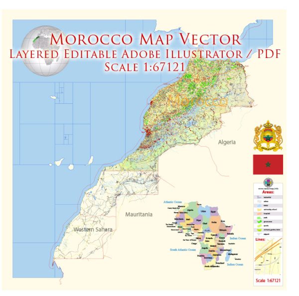
Morocco is divided into several administrative territories, which include regions, provinces, and municipalities. Here is an overview of these administrative divisions in Morocco:
- Regions (Régions): Morocco is divided into 12 regions. Each region is governed by a Wali (Governor) and has its Regional Council, which is responsible for local development and planning. The regions are:
- Tanger-Tetouan-Al Hoceima
- Oriental
- Fes-Meknes
- Rabat-Sale-Kenitra
- Beni Mellal-Khenifra
- Casablanca-Settat
- Marrakech-Safi
- Draa-Tafilalet
- Souss-Massa
- Guelmim-Oued Noun
- Laayoune-Sakia El Hamra
- Dakhla-Oued Ed-Dahab
- Provinces and Prefectures (Provinces et Préfectures): Regions are further divided into provinces and prefectures. There are 75 provinces and prefectures in Morocco. These divisions are responsible for local administration, including law enforcement, infrastructure, and services.
- Municipalities (Communes): The provinces and prefectures are further divided into municipalities, which are responsible for local governance, urban planning, and public services. Morocco has hundreds of municipalities across the country, ranging from major cities to small towns.
- Communities of Communes (Communautés de Communes): In some rural areas, municipalities come together to form “Communities of Communes” to better coordinate local development and services.
- Wilayas in the Southern Provinces: Morocco also administers the Southern Provinces (Western Sahara), where the administrative divisions include wilayas. These divisions are part of the ongoing dispute over the status of Western Sahara.
It’s important to note that administrative divisions can change over time due to political and administrative reforms. Therefore, I recommend checking with up-to-date official sources for the most current information regarding Morocco’s administrative territories and divisions.


 Author: Kirill Shrayber, Ph.D. FRGS