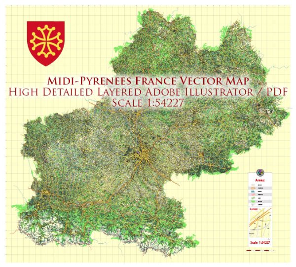
The Midi-Pyrénées region, now part of the larger Occitanie region, is located in the southwestern part of France. It is known for its diverse and rich water resources due to its geographical features, which include rivers, lakes, and natural beauty. Additionally, it features several notable bridges that play important roles in the region’s transportation and cultural heritage. Here’s an overview of the water resources and bridges in the Midi-Pyrénées region:
Water Resources:
- Rivers: The region is blessed with numerous rivers, including the Garonne, Lot, Tarn, Aveyron, and Gers. The Garonne River is the largest and flows through the central part of the region, providing a crucial water source and supporting various economic activities.
- Lakes: Midi-Pyrénées has several lakes, with Lac de Saint-Ferréol being one of the most famous. It was constructed in the 17th century as part of a hydraulic system to supply water to the Canal du Midi.
- Canals: The Canal du Midi, a UNESCO World Heritage Site, is a historic canal that runs through the region, connecting the Atlantic Ocean to the Mediterranean Sea. It was constructed in the 17th century and played a vital role in the transportation of goods and water management.
- Underground Water: The region also has significant underground water resources, which are important for both agriculture and domestic use.
Bridges:
- Pont Neuf, Toulouse: The Pont Neuf in Toulouse is one of the most iconic bridges in the Midi-Pyrénées region. It is the oldest bridge in the city and spans the Garonne River. The bridge, with its arches and architecture, is a symbol of the city.
- Pont Valentré, Cahors: The Pont Valentré is a medieval fortified bridge located in the city of Cahors. It is known for its three defensive towers and is a UNESCO World Heritage Site. The bridge dates back to the 14th century and is an architectural marvel.
- Pont Vieux, Carcassonne: The Pont Vieux in Carcassonne is another historic bridge that spans the Aude River. It provides access to the medieval city of Carcassonne, a UNESCO World Heritage Site.
- Pont-canal du Cacor, Moissac: This is an aqueduct bridge that carries the Canal de Garonne over the Tarn River near Moissac. It’s an engineering marvel and an important part of the Canal des Deux Mers, which connects the Atlantic and Mediterranean coasts.
- Pont de la Legende, Albi: The Pont de la Legende is a picturesque bridge in Albi, known for its beautiful views of the Tarn River and the historic city of Albi.
These are just a few examples of the water resources and bridges in the Midi-Pyrénées region, which showcase the region’s natural beauty, historical significance, and the importance of waterways for transportation and commerce.


 Author: Kirill Shrayber, Ph.D.