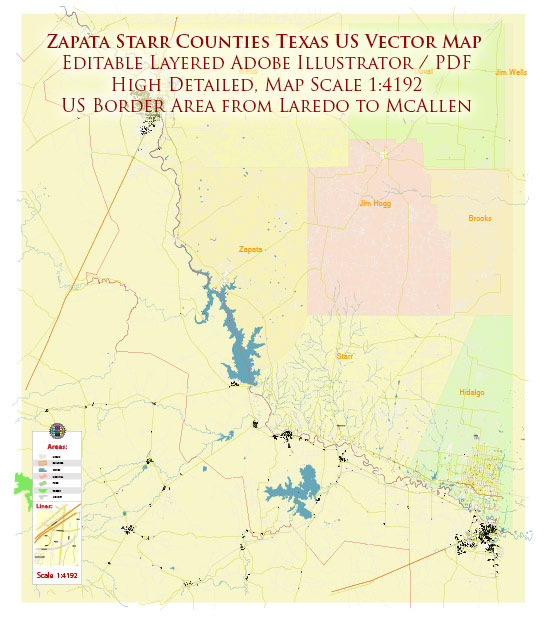
Zapata and Starr counties in Texas offer a variety of recreational and tourism opportunities, primarily centered around their natural beauty, outdoor activities, and cultural attractions. Here are some of the things you can do in these counties:
Zapata County:
- Falcon Lake: Falcon Lake is known for its excellent bass fishing. Anglers come from all over to try their luck in these waters. You can also enjoy boating and birdwatching along the lake’s shores.
- Falcon State Park: This state park offers camping, hiking, and picnicking opportunities, making it a great place to enjoy the outdoors.
- Hunting: Zapata County is known for its hunting opportunities, particularly for white-tailed deer, quail, and dove. There are many ranches and outfitters that cater to hunters.
- Birdwatching: The region is part of the Lower Rio Grande Valley and offers fantastic birdwatching opportunities. You can see a wide variety of bird species, including many rare and exotic ones.
- Cultural and Historical Sites: Zapata County has a rich cultural history, with several historical sites to explore, such as the San Ygnacio Historic District.
Starr County:
- Santa Ana National Wildlife Refuge: This refuge is known for its birdwatching and wildlife viewing opportunities. It’s a great place to explore the natural beauty of the region.
- La Sal del Rey: This is a naturally occurring salt lake and is an interesting geological feature. It’s a unique place to visit and take photos.
- Rio Grande River: The Rio Grande River forms the border between Starr County and Mexico. You can take boat trips or go fishing on the river, enjoying the scenic views.
- Cultural Heritage: Explore the rich cultural heritage of Starr County, which has a strong Mexican influence. You can visit historical sites and museums that showcase the history and traditions of the area.
- Hiking and Biking: There are trails and paths for hiking and biking in the region, providing opportunities for outdoor enthusiasts to explore the landscape.
- Festivals and Events: Be sure to check the local event calendar for any festivals or events happening during your visit. These can provide a great way to experience the local culture and traditions.
Both Zapata and Starr counties offer a chance to experience the natural beauty of South Texas and the unique culture that blends American and Mexican influences. Whether you’re interested in outdoor activities, wildlife, history, or culture, these counties have something to offer tourists and outdoor enthusiasts.


 Author: Kirill Shrayber, Ph.D. FRGS