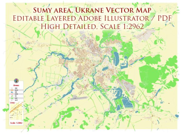
Sumy is a city located in northeastern Ukraine. It is situated in the Sumy Oblast and is known for its picturesque landscapes, including rivers, lakes, and bridges. Here’s some information about Sumy’s water resources and bridges:
- Rivers: The main river that flows through Sumy is the Psel River, a tributary of the Dnieper River. The Psel River plays a significant role in the city’s water supply and transportation.
- Lakes: Sumy and its surrounding region have several lakes, including Lake Chepelyovo and Lake Lyubetske. These lakes provide recreational opportunities and can also serve as water sources for the city.
- Reservoirs: Sumy has a reservoir called “Sumy Reservoir,” which is formed by a dam on the Psel River. This reservoir helps regulate water levels and provides a source of freshwater for the city.
- Bridges: Sumy features numerous bridges that connect different parts of the city and facilitate transportation across the Psel River and its tributaries. Some notable bridges in Sumy include the Yaroslav Mudryi Bridge, the Kirov Bridge, and the new pedestrian bridge connecting the Sumy city center with the park on the left bank of the Psel River.
The bridges not only serve practical purposes for transportation but also add to the city’s architectural charm. They often provide beautiful views of the rivers and surrounding landscapes.
Please note that the specific details about water resources and bridges in Sumy may change over time, and it’s advisable to check with local authorities or recent sources for the most up-to-date information.


 Author: Kirill Shrayber, Ph.D.