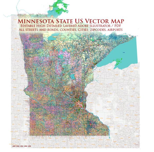
Minnesota, like many states in the United States, has an extensive network of water resources and bridges. These play a crucial role in transportation, commerce, and the overall infrastructure of the state. Here is some information about water resources and bridges in Minnesota:
Water Resources:
- Mississippi River: The Mississippi River flows through the state of Minnesota, and it is a major water resource. It forms part of the state’s eastern border and is essential for transportation, recreation, and water supply.
- Minnesota River: The Minnesota River is another significant river in the state, flowing from the western border to the Mississippi River. It plays a key role in agricultural and industrial activities in the region.
- Boundary Waters Canoe Area Wilderness (BWCAW): This wilderness area in the northern part of the state contains numerous lakes and rivers, making it a popular destination for canoeing, fishing, and outdoor recreation.
- Lake Superior: Minnesota borders Lake Superior to the northeast, which is the largest of the Great Lakes. It is a vital water resource for shipping and provides recreational opportunities.
- Chain of Lakes: Minneapolis and the surrounding area are known for their “Chain of Lakes,” which includes Lake Harriet, Lake Calhoun, and Lake of the Isles. These lakes are popular for boating, swimming, and other recreational activities.
- Rice Lake: Located in the northeast part of the state, Rice Lake is one of Minnesota’s many lakes and is known for its scenic beauty.
Bridges:
Minnesota has an extensive network of bridges, including various types such as vehicular, pedestrian, and railroad bridges. Some notable examples include:
- I-35W Mississippi River Bridge: This bridge in Minneapolis gained national attention when it tragically collapsed in 2007. It has since been rebuilt and serves as a vital transportation link in the city.
- Stone Arch Bridge: Located in Minneapolis, this historic bridge was originally a railroad bridge but is now a pedestrian and bicycle bridge, offering scenic views of the Mississippi River.
- Stillwater Lift Bridge: Crossing the St. Croix River in Stillwater, this lift bridge is a historic landmark and an important transportation route in the area.
- High Bridge: Located in St. Paul, the High Bridge spans the Mississippi River and provides a key transportation link in the Twin Cities metropolitan area.
- Bong Bridge: Connecting Duluth, Minnesota, to Superior, Wisconsin, this bridge is an important crossing for traffic in the region.
- Numerous County and Local Bridges: Minnesota has a vast network of county and local bridges, many of which are critical for rural transportation and connecting communities.
These are just a few examples of the water resources and bridges in Minnesota. The state’s waterways and bridges are vital to its economy, transportation, and quality of life, and they are subject to ongoing maintenance and improvement efforts to ensure their safety and functionality.


 Author: Kirill Shrayber, Ph.D. FRGS