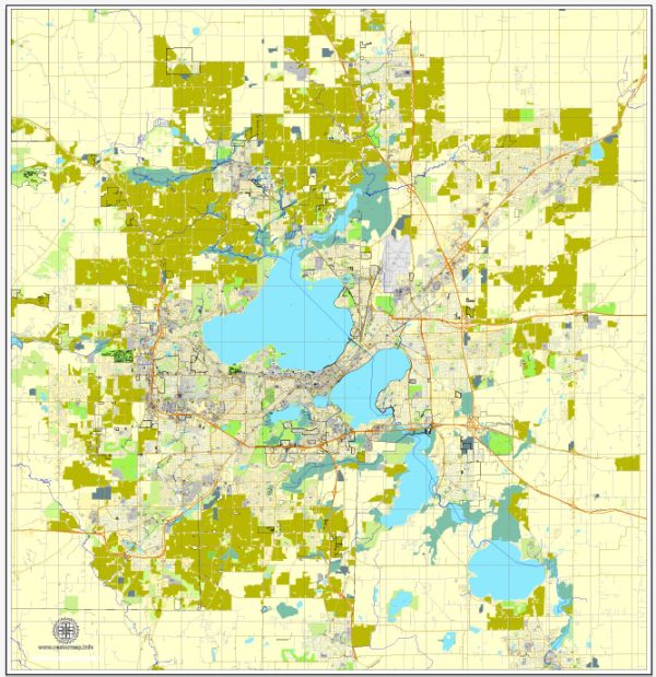
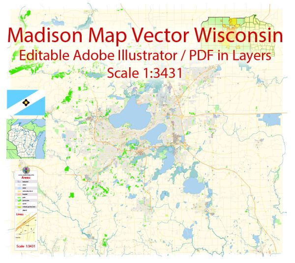
Madison, Wisconsin, is the capital city of the state and the second-largest city in Wisconsin. It is known for its vibrant culture, beautiful lakes, and diverse neighborhoods. Madison is divided into various city districts and neighborhoods, each with its own unique characteristics. Here is an overview of some of the major neighborhoods and districts in Madison:
- Downtown: This is the heart of Madison and home to the State Capitol building, numerous government offices, and cultural attractions. You’ll find a mix of historic and modern architecture, as well as a variety of restaurants, bars, and shops. State Street, a pedestrian-friendly thoroughfare, is famous for its vibrant atmosphere and eclectic businesses.
- East Side: The East Side of Madison is known for its eclectic and diverse neighborhoods. It’s home to the University of Wisconsin-Madison, making it a vibrant and youthful area. Popular neighborhoods include Marquette, Willy Street (Williamson-Marquette), and Atwood, each with its own unique character and local businesses.
- West Side: The West Side offers a mix of residential neighborhoods and shopping areas. Some notable neighborhoods include Hill Farms, Meadowood, and Midvale Heights. The west side also has a variety of parks and green spaces.
- South Side: The South Side is known for its family-friendly neighborhoods and offers a range of housing options. Popular neighborhoods include Bay Creek, Bram’s Addition, and the Allied Drive area. The South Side is also home to the Alliant Energy Center and the Olin-Turville Park.
- North Side: The North Side includes neighborhoods like Sherman, Cherokee Marsh, and Warner Park. It is more residential and known for its quiet and suburban feel. Warner Park is a notable green space in the area.
- Near West Side: This area, including neighborhoods like Dudgeon-Monroe and Vilas, is known for its beautiful older homes, tree-lined streets, and proximity to the University of Wisconsin and the UW Hospital.
- Fitchburg: While not part of Madison, Fitchburg is a neighboring city that is often considered part of the greater Madison area. It offers a mix of residential and commercial areas and is known for its growing business community.
- Sun Prairie: Another neighboring city, Sun Prairie is known for its suburban atmosphere, excellent schools, and a growing community.
- Middleton: Middleton is a suburban community to the west of Madison. It offers a mix of shopping centers, parks, and a thriving restaurant scene.
- Verona: Located to the southwest of Madison, Verona is known for its excellent schools and a growing business community. It’s also home to Epic Systems, a major healthcare software company.
Each of these neighborhoods and districts has its own unique character, amenities, and attractions, making Madison a diverse and interesting place to live or visit. When choosing a neighborhood, consider factors such as proximity to work, schools, parks, and the type of community you’re looking for, whether it’s vibrant and urban or peaceful and suburban.


 Author: Kirill Shrayber, Ph.D. FRGS