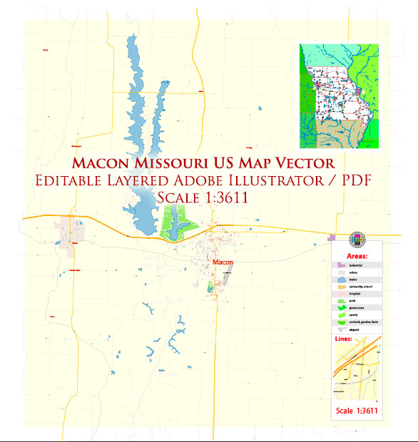
Macon, Missouri, is a city located in the United States, and like many cities and towns, it relies on a variety of water resources and bridges for transportation and infrastructure. Keep in mind that specific details may change over time, so for the most up-to-date information, it’s always a good idea to contact local authorities or relevant agencies.
Water Resources:
- Macon Lake: Macon, Missouri, has a lake called Macon Lake, which is a local water resource often used for recreational activities like fishing and boating.
- City Water Supply: The city likely relies on wells or other water sources to provide clean drinking water to its residents. It’s typically regulated by the local water department or utility.
Bridges:
- Macon County Bridge: The city and the county would have various bridges to facilitate transportation across bodies of water, railway lines, or other obstacles. Macon County Bridge is a significant structure in the area.
- Railroad Bridges: Macon’s transportation infrastructure also includes railroad bridges, as the city has rail connections for the transportation of goods and passengers.
- Highway Bridges: Highways such as US Route 36 and others may have bridges in Macon to facilitate road travel across water bodies like rivers or streams.
- Pedestrian Bridges: There may be pedestrian bridges, walkways, or bike paths with bridges over smaller creeks or pathways for the convenience and safety of pedestrians and cyclists.
- Maintenance and Safety: Like any infrastructure, these bridges require regular maintenance and safety inspections to ensure they remain in good condition.
For specific and up-to-date information on Macon’s water resources and bridges, it’s recommended to contact the local government authorities, such as the city’s public works department or county authorities, as they will have the most accurate and current information about these resources and structures.


 Author: Kirill Shrayber, Ph.D. FRGS