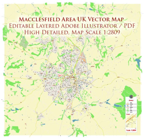
Macclesfield is a market town in Cheshire East, England, and it’s situated near the eastern edge of the Cheshire Plain. While I don’t have access to real-time data or specific details about the town’s current water resources and bridges, I can provide some general information about this topic.
Water Resources:
- River Bollin: The River Bollin is one of the significant water bodies in the Macclesfield area. It flows through the town and is a tributary of the River Mersey.
- Reservoirs: There are several reservoirs in the nearby Peak District that provide water resources to the region. These may include Lamaload Reservoir and Errwood Reservoir.
- Groundwater: Macclesfield, like many areas in the UK, relies on groundwater for its water supply. There are numerous boreholes and wells throughout the region to extract groundwater.
Bridges:
- Macclesfield Bridge: The town itself is likely to have various bridges over the River Bollin or other smaller watercourses. Macclesfield Bridge, for example, is a notable structure in the town.
- Canal Bridges: Macclesfield is also connected to the Macclesfield Canal, which has several bridges along its route.
- Road Bridges: The town and surrounding areas have numerous road bridges that span rivers, streams, and other water features.
For up-to-date and specific information about water resources, bridges, or any infrastructure in Macclesfield, you should contact the local authorities, water companies, or check with the Cheshire East Council for the latest data and developments in the area.


 Author: Kirill Shrayber, Ph.D. FRGS