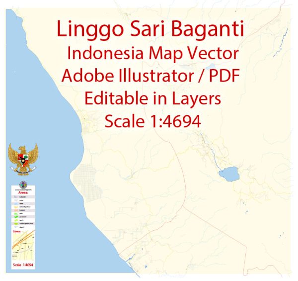
Indonesia is an archipelagic country with a vast network of rivers, lakes, and other water resources, making it essential for the development of bridges and other infrastructure. Here’s some general information about water resources and bridges in Indonesia:
- Water Resources:
- Rivers and Lakes: Indonesia has numerous rivers and lakes, the most significant being the Kapuas River, the Mahakam River, and Lake Toba, among others. These water bodies are essential for transportation, irrigation, and fisheries.
- Rainfall: Indonesia experiences a tropical climate, resulting in abundant rainfall. These rainfalls are a primary source of freshwater and support agriculture and various industries.
- Groundwater: Groundwater is another crucial source of freshwater for drinking and agriculture. Proper management and protection of aquifers are essential.
- Water Management: Indonesia faces challenges related to water resource management, including issues of water quality, access, and distribution.
- Bridges:
- Bridge Infrastructure: Indonesia has an extensive network of bridges that connect various islands and regions. These bridges are vital for transportation and economic development. Notable bridges include the Suramadu Bridge (connecting Java and Madura), Bali Mandara Toll Road, and many more.
- Challenges: Maintaining and building bridges in Indonesia can be challenging due to the country’s geological and environmental conditions, such as earthquakes and high rainfall. Ensuring the safety and resilience of these structures is a priority.
- Government Initiatives: The Indonesian government has been investing in infrastructure development, including the construction and maintenance of bridges, to improve connectivity and support economic growth.
- Sustainability: There is a growing emphasis on sustainability and environmental considerations in bridge construction and maintenance to minimize the impact on natural resources and ecosystems.
It’s important to note that the specific water resources and bridge projects and their details can vary widely depending on the region and government initiatives. For more detailed and up-to-date information about water resources and bridge projects in Indonesia, it is advisable to consult local government agencies, engineering firms, or relevant authorities involved in infrastructure development in the country.


 Author: Kirill Shrayber, Ph.D. FRGS