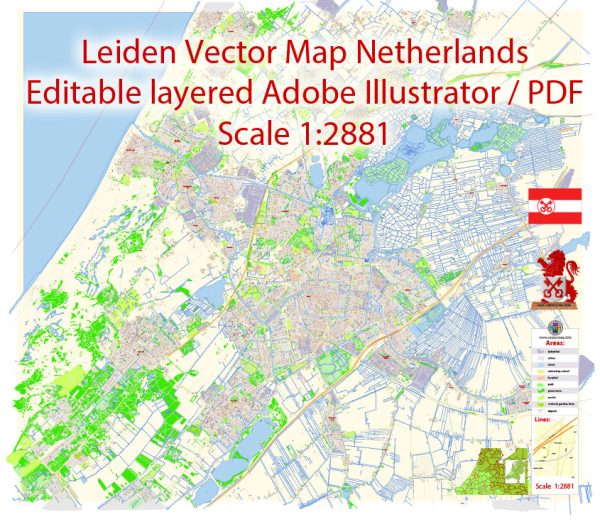
Leiden, a city in the Netherlands, is known for its extensive network of canals, which play a significant role in the city’s water resources and transportation. Here is some information about water resources and bridges in Leiden:
- Canals: Leiden has numerous canals that traverse the city. The most famous of these is the Rapenburg, which runs through the historic city center. These canals have been a fundamental part of the city’s history, providing transportation, defense, and a charming aesthetic.
- Water Management: The Netherlands is well-known for its expertise in water management and the fight against flooding. Leiden, like many Dutch cities, has a robust system of dykes, pumps, and sluices to control water levels in the canals and prevent flooding. The city’s water management system is a testament to the Dutch commitment to water resource management.
- Bridges: Leiden features numerous bridges that connect different parts of the city, allowing for both pedestrian and vehicular traffic. Many of these bridges are iconic and provide picturesque views of the canals. Some notable bridges include the Burcht Bridge, Koornbrug, and Zijlpoort.
- Cycling: Leiden is a bike-friendly city, and many of the bridges are designed to accommodate cyclists. Cyclists use these bridges to cross canals and navigate the city easily.
- Water Transport: Leiden’s canals were historically used for transporting goods and people. While their primary function has shifted more towards recreation and tourism, you can still find tour boats offering guided trips along the city’s waterways.
- Hortus Botanicus: Leiden is home to one of the oldest botanical gardens in the world, known as Hortus Botanicus. This garden has a unique feature: it is surrounded by water, which adds to its charm. Visitors can cross a small bridge to access the garden.
Overall, the canals and bridges in Leiden are not only practical elements of the city’s infrastructure but also important cultural and historical symbols. They contribute to the city’s unique atmosphere and offer both locals and tourists a delightful way to explore this historic Dutch city.


 Author: Kirill Shrayber, Ph.D.