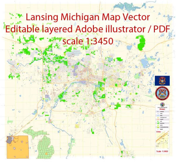
Lansing, the capital of Michigan, is located in the south-central part of the state and is divided by the Grand River. Water resources and bridges are essential components of the city’s infrastructure and natural features. Here’s an overview:
Water Resources:
- Grand River: The Grand River runs through Lansing, dividing the city into two parts. It is Michigan’s longest river and an important water resource for the region. The river provides recreational opportunities, including fishing, kayaking, and boating.
- Red Cedar River: This river is a tributary of the Grand River and flows through the eastern part of Lansing. Like the Grand River, it offers opportunities for outdoor activities.
- Lake Lansing: Located to the northeast of Lansing, Lake Lansing is a popular recreational spot for boating, swimming, and picnicking.
- Groundwater: Lansing relies on groundwater for its drinking water supply. The Lansing Board of Water & Light manages the city’s water treatment and distribution system.
Bridges:
- Grand River Avenue Bridge: This is a significant bridge that spans the Grand River in downtown Lansing. It connects the east and west sides of the city.
- Kalamazoo Street Bridge: Another important bridge over the Grand River, the Kalamazoo Street Bridge connects Lansing with the city of East Lansing.
- Michigan Avenue Bridge: This bridge, which runs parallel to Grand River Avenue, is also a key transportation route over the Grand River.
- Cesar E. Chavez Avenue Bridge: Located on the southwest side of Lansing, this bridge crosses the Grand River and provides an important link for the local community.
- Jenison Avenue Bridge: This bridge is situated over the Red Cedar River and connects parts of eastern Lansing.
- Park Lake Road Bridge: Located near Lake Lansing, this bridge serves the local community and visitors to the lake.
These are just a few examples of the many bridges and water resources in Lansing, Michigan. The waterways and bridges play a significant role in the city’s transportation, recreation, and overall infrastructure.


 Author: Kirill Shrayber, Ph.D. FRGS