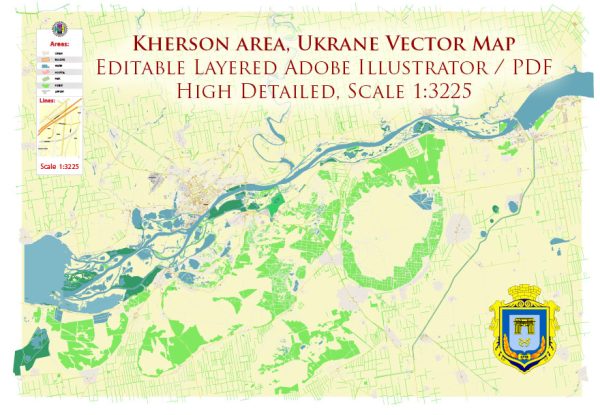
Kherson is a city in southern Ukraine, located on the banks of the Dnieper River near its mouth into the Black Sea. The city is the administrative center of the Kherson Oblast (region) and has several districts and neighborhoods. Here’s a general overview of some of the districts and neighborhoods in Kherson:
- Suvorova District: This is one of the central districts in Kherson and is known for its historical significance. It includes the city’s central square, parks, and several cultural landmarks.
- Dnipro District: Located along the Dnieper River, this district offers beautiful riverfront views. It’s also home to some recreational areas and a mix of residential and commercial spaces.
- Komsomolsky District: This district is situated to the north of the city center and is primarily residential. It features various housing options and local amenities.
- Tavrіchesky District: Located in the eastern part of Kherson, this district has a mix of residential areas, parks, and some industrial zones.
- Oleksandrivsky District: This district is situated in the western part of Kherson and includes both residential neighborhoods and industrial areas.
- Khortytsia Island: Khortytsia is a large island in the Dnieper River, accessible from Kherson via a bridge. It’s known for its natural beauty, historical significance, and outdoor recreational opportunities.
- Novaya Dolyna: This neighborhood is a developing residential area on the outskirts of Kherson, offering new housing developments.
- Sunny Beach: This area is known for its proximity to the Black Sea and its beach resorts, making it a popular destination during the summer months.
- Zalizny Port: This is a seaside neighborhood and a popular resort area with beaches and various recreational activities.
- Novy Svet: Located to the south of Kherson, this district is known for its green spaces and residential neighborhoods.
These are some of the notable districts and neighborhoods in Kherson.


 Author: Kirill Shrayber, Ph.D. FRGS