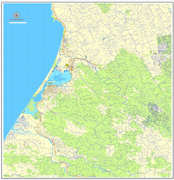
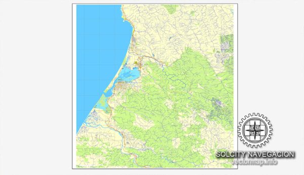
Humboldt County, located in Northern California, is known for its beautiful landscapes and abundant water resources. The primary water resources in Humboldt County include rivers, creeks, and a coastline along the Pacific Ocean. Eureka is the county seat of Humboldt County and is situated on the coast, offering access to the ocean. Here are some key water resources and bridges in the Humboldt Eureka area:
- Humboldt Bay: Humboldt Bay is a significant water body that provides access to the Pacific Ocean. The bay is essential for commercial fishing, shipping, and recreational boating.
- Eel River: The Eel River is one of the major rivers in the region and flows through Humboldt County. It is known for its salmon and steelhead runs and is important for both recreation and water supply.
- Mad River: The Mad River is another notable river in the area, known for its scenic beauty and recreational opportunities, including fishing and kayaking.
- Van Duzen River: The Van Duzen River is a tributary of the Eel River, known for its clean, clear waters and attractive swimming spots.
- Redwood Creek: This creek runs through Humboldt Redwoods State Park and is surrounded by the iconic ancient redwood trees.
- Bridges: The region is home to several bridges that span these rivers and water bodies, providing essential transportation links. Some notable bridges include the Samoa Bridge, which connects the Samoa Peninsula to Eureka, and the Murray Field Bridge, which spans the Mad River.
Humboldt County and Eureka, in particular, rely on these water resources for various purposes, including drinking water supply, recreational activities, and supporting the local economy. Additionally, the presence of these waterways and bridges adds to the scenic beauty and accessibility of the area.


 Author: Kirill Shrayber, Ph.D. FRGS