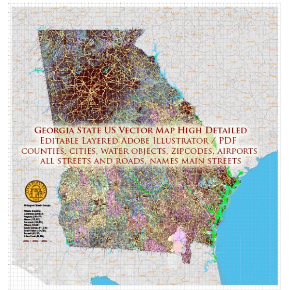
Georgia, a state in the southeastern United States, has a diverse landscape with various water resources and bridges. Here’s an overview of water resources and bridges in Georgia:
- Rivers and Streams: Georgia is home to many rivers and streams, including the Chattahoochee River, Savannah River, Altamaha River, Flint River, and Ocmulgee River. These waterways play a vital role in the state’s water resources, providing water for drinking, agriculture, industry, and recreation.
- Reservoirs and Lakes: Georgia has numerous reservoirs and lakes, with Lake Lanier, Lake Allatoona, and Lake Oconee being some of the largest. These bodies of water serve as sources of drinking water, recreation, and support the state’s economy.
- Aquifers: Groundwater is an essential water resource in Georgia. The state has several aquifers that provide water for various uses, including the Floridan Aquifer, which is one of the major sources of groundwater in the region.
- Coastal Resources: Georgia’s coastline along the Atlantic Ocean includes marshes, estuaries, and wetlands, which are ecologically important and provide habitat for diverse wildlife. The state has also invested in projects to protect its coastline from erosion and sea-level rise.
- Bridges: Georgia has an extensive network of bridges to facilitate transportation across its rivers, streams, and other water bodies. Notable bridges in the state include:
- Sidney Lanier Bridge: This cable-stayed bridge spans the Brunswick River in Brunswick, Georgia, and is a prominent landmark in the area.
- Talmadge Memorial Bridge: Connecting Savannah to Hutchinson Island, this bridge is an important transportation link for the city.
- Lake Lanier Bridge: This bridge spans Lake Lanier in northern Georgia and is a critical part of the transportation network in the region.
- Chattahoochee River Bridges: There are several bridges spanning the Chattahoochee River in the Atlanta metropolitan area, including the Jackson Street Bridge, the Peachtree Street Bridge, and others.
- Savannah River Bridges: The city of Augusta has multiple bridges crossing the Savannah River, including the 13th Street Bridge and the Fifth Street Bridge.
These bridges play a crucial role in connecting different parts of the state and supporting transportation and commerce.
Georgia’s water resources and bridges are essential for the state’s economy, transportation, and overall quality of life. The management and maintenance of these resources and infrastructure are priorities for the state government to ensure their sustainability and safety.


 Author: Kirill Shrayber, Ph.D. FRGS