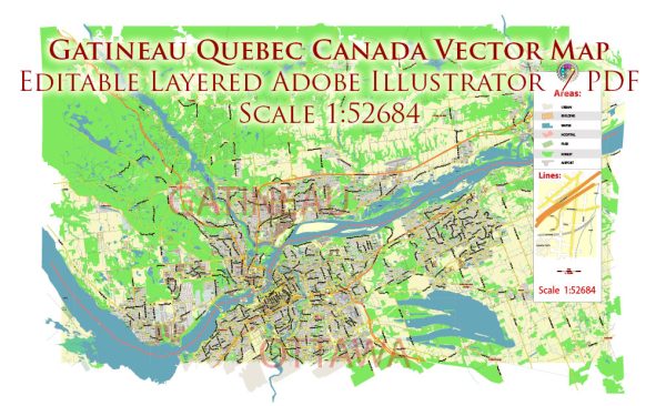
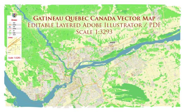
Gatineau, Quebec, Canada, is a city located in the Outaouais region of Quebec, near the border with Ottawa, Ontario. The city is situated on the northern bank of the Ottawa River and has several water resources and bridges that play a significant role in its infrastructure and transportation network.
Water Resources:
- Ottawa River: Gatineau is located along the Ottawa River, which serves as a significant water resource for the city. The river is used for various recreational activities, such as boating, fishing, and swimming.
- Lac Beauchamp: This man-made lake, located in Gatineau’s eastern sector, is a popular destination for outdoor activities, including swimming and picnicking.
- Numerous Creeks and Streams: Gatineau is home to numerous smaller water bodies, including creeks and streams, which contribute to the city’s overall water resources. Some of these creeks, like Blanche River, feed into the Ottawa River.
Bridges:
- Alexandra Bridge: The Alexandra Bridge connects Gatineau to Ottawa, spanning the Ottawa River. It provides a crucial transportation link between the two cities and is an important symbol of their close relationship.
- Portage Bridge: The Portage Bridge, also connecting Gatineau and Ottawa, is another important river crossing, especially for commuters and tourists.
- Champlain Bridge: The Champlain Bridge is a major bridge on Highway 50, connecting Gatineau to the city of Montreal. This bridge is essential for regional and interprovincial travel.
- Aylmer Bridge: This bridge connects Gatineau’s Aylmer sector to other parts of the city and is a vital transportation link for local residents.
- Des Draveurs Bridge: Located near the Hull sector, this bridge provides access to various parts of Gatineau and is an integral part of the city’s transportation network.
These water resources and bridges play a significant role in the daily life, transportation, and recreational activities of the people of Gatineau and the surrounding region. They also contribute to the scenic beauty of the area, with the Ottawa River being a prominent feature of the landscape.


 Author: Kirill Shrayber, Ph.D.