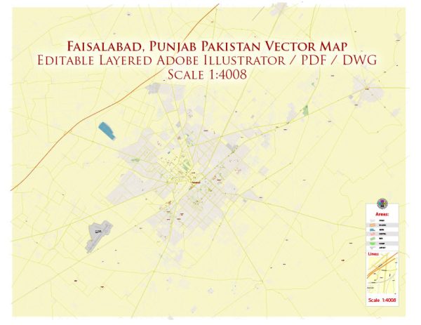
Faisalabad, often referred to as the “Manchester of Pakistan,” is one of the major cities in the country and serves as an industrial and economic hub. It is the third-most-populous city in Pakistan and the second-largest in the province of Punjab. Faisalabad is known for its extensive textile and manufacturing industries, which contribute significantly to the national economy. The city is divided into several administrative districts and regions. Here’s a brief description of some of the key districts within Faisalabad:
- Faisalabad City District:
- This is the central and most populous district of Faisalabad.
- It includes the urban areas of the city, as well as the commercial and industrial sectors.
- Faisalabad City District is the heart of the textile and manufacturing industries in the region.
- Lyallpur Town:
- Located within the Faisalabad City District, Lyallpur Town is one of the central areas of the city.
- It’s a commercial and business hub, housing numerous markets and commercial centers.
- Jinnah Colony:
- Jinnah Colony is a residential area within Faisalabad City District.
- It is known for its residential properties and various amenities.
- Ghulam Muhammad Abad:
- This area is known for its commercial significance, with a concentration of shops, markets, and businesses.
- Madina Town:
- Madina Town is a residential area known for its housing societies and developments.
- People’s Colony:
- Another residential area in Faisalabad City District, People’s Colony offers a variety of housing options.
- Dijkot:
- Dijkot is a tehsil (administrative division) located in the Faisalabad District.
- It has both urban and rural areas, with a mix of agriculture and small-scale industry.
- Samundri:
- Samundri is another tehsil within the Faisalabad District.
- It’s known for its agriculture, and the area also has small-scale industries.
- Tandlianwala:
- Tandlianwala is a tehsil located in the Faisalabad District.
- Like Samundri, it’s primarily known for its agricultural activities.
- Chak Jhumra:
- Chak Jhumra is a tehsil in the Faisalabad District.
- It has a mix of agricultural and industrial activities and is known for its cotton and textile production.
Faisalabad’s districts and tehsils are a reflection of the diverse economic activities and the urban and rural landscape of the city. The textile and manufacturing industries in the urban areas are complemented by agricultural activities in the surrounding rural areas, making Faisalabad a crucial economic center in Pakistan.


 Author: Kirill Shrayber, Ph.D. FRGS