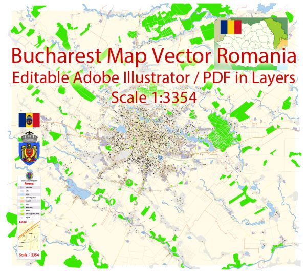
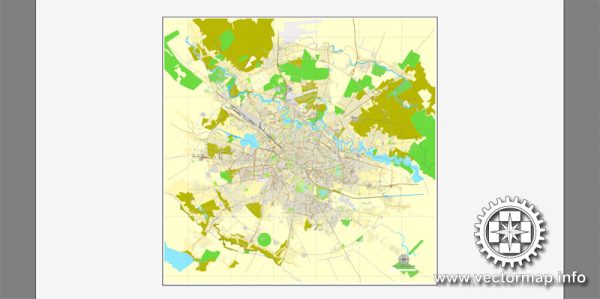
Bucharest, the capital and largest city of Romania, is divided into six administrative sectors (or districts). Each of these sectors has its own unique characteristics, neighborhoods, and attractions. Here is a brief description of each sector and some notable neighborhoods within them:
- Sector 1:
- This sector encompasses the northern part of the city and is home to some of the wealthiest and most upscale neighborhoods.
- Dorobanți: Known for its elegant architecture, luxury boutiques, and upscale restaurants.
- Aviatorilor: A residential area with beautiful parks and proximity to Herastrau Park, a large and popular park with a lake.
- Victoriei: The heart of the city’s government and business district, with iconic buildings and institutions.
- Sector 2:
- This sector covers the eastern part of the city and is one of the more diverse and populous areas.
- Obor: A lively neighborhood with a traditional market, where you can find fresh produce and various goods.
- Pantelimon: Known for its affordable housing options and green spaces like Tineretulu Park.
- Sector 3:
- Located in the southeastern part of Bucharest, this sector is a mix of residential neighborhoods and commercial areas.
- Titan: Home to the Alexandru Ioan Cuza Park and the Titan Park Shopping Mall.
- Vitan: A diverse neighborhood with shopping centers, restaurants, and a mix of residential and commercial areas.
- Sector 4:
- This sector is in the southern part of Bucharest and is known for its more relaxed and suburban atmosphere.
- Tineretulu: A peaceful residential area with parks and cultural attractions.
- Giurgiului: Features a mix of residential and industrial areas.
- Sector 5:
- Situated in the southwestern part of the city, this sector has a mix of residential and industrial areas.
- Rahova: Known for its historical charm, with old buildings and churches.
- Ferentari: A district facing social and economic challenges, but it’s also home to some cultural and artistic communities.
- Sector 6:
- Located in the western part of Bucharest, this sector is a blend of residential and industrial zones.
- Crângași: A residential area with parks and shopping centers.
- Drumul Taberei: A rapidly developing district with new residential complexes and commercial centers.
Keep in mind that Bucharest is a city of contrasts, with historical and architectural gems mixed with more modern and commercial areas. Each sector and neighborhood has its own unique character, and your experience in the city can vary greatly depending on where you choose to explore or live.


 Author: Kirill Shrayber, Ph.D. FRGS