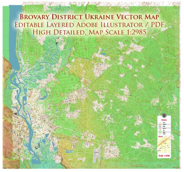
Brovary District is a administrative district (raion) located in the Kyiv Oblast (region) of Ukraine. It is situated in the northern part of Kyiv Oblast and is part of the larger Kyiv metropolitan area. Here is some geographical information about the Brovary District:
- Location: Brovary District is located to the northeast of the capital city, Kyiv. It is approximately 20-30 kilometers from the center of Kyiv, making it part of the Kyiv metropolitan area. The district is well-connected to Kyiv by road and public transportation.
- Landscape: The district’s landscape is characterized by a mix of flat and gently rolling terrain. It is situated in the forest-steppe zone of Ukraine, which means that you can find a combination of open fields and wooded areas.
- Rivers: The district is crossed by several rivers and streams, including the Dnipro River, which is one of the major rivers in Ukraine. The Dnipro River forms the district’s southern border and plays a significant role in transportation and water resources in the region.
- Natural Reserves: There are several natural reserves and protected areas in and around Brovary District, which are home to diverse flora and fauna. These areas provide opportunities for outdoor activities and ecological research.
- Towns and Settlements: The district includes the town of Brovary, which is the administrative center. Brovary is a medium-sized city with a range of amenities and services. In addition to Brovary, there are various villages and smaller settlements within the district.
- Transportation: The district is well-connected to Kyiv and other nearby regions through a network of roads, including major highways and local routes. Public transportation options, such as buses and trains, provide easy access to and from Brovary District.
- Economic Activities: The district’s economy is diverse, with a mix of agriculture, manufacturing, and services. It is home to various industries, including food processing, construction materials, and light manufacturing.
- Culture and History: The Brovary District, like much of Ukraine, has a rich cultural and historical heritage. It has witnessed various historical events and developments over the centuries, and you can find cultural sites, museums, and landmarks that reflect this history.
Please note that geographical and administrative information may change over time, and it’s a good idea to refer to up-to-date sources or local authorities for the latest information about Brovary District, Ukraine.


 Author: Kirill Shrayber, Ph.D. FRGS