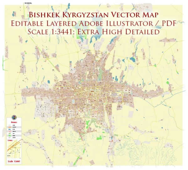
Bishkek, the capital city of Kyrgyzstan, is divided into several administrative districts. These districts are often referred to as “rayons” in the local language. Here is a description of some of the main districts in Bishkek:
- Leninsky District (Leninskii Rayon): This district is located in the central part of Bishkek and is home to many government institutions, embassies, and cultural landmarks. It’s a bustling area with a mix of residential and commercial spaces. Ala-Too Square, which is one of the main city squares, is located in this district.
- Sverdlov District (Sverdlovskii Rayon): Sverdlov District is situated to the north of the city center. It’s a primarily residential area with a mix of housing options. The district is named after the famous Russian revolutionary Yakov Sverdlov.
- Pervomaisky District (Pervomaiskii Rayon): Located in the southwestern part of Bishkek, Pervomaisky District is known for its green spaces and parks. The district is mostly residential and features a variety of housing options.
- Oktiabr District (Oktiabrskii Rayon): Oktiabr District is in the eastern part of the city. It’s known for its industrial and manufacturing areas. The district has a mix of residential neighborhoods and businesses.
- Alamudun District (Alamudunskii Rayon): Situated to the southeast of Bishkek, this district is known for its agricultural activities. It’s a more rural area compared to the central parts of the city.
- Kara-Balta District (Kara-Baltskii Rayon): This district is located to the west of the city and is known for its role as a transportation hub. It’s home to the Bishkek International Airport and the Western Bus Station.
- Panfilov District (Panfilovskii Rayon): Panfilov District is in the northern part of Bishkek and is predominantly residential. It’s a quiet and peaceful area, often chosen by families for its tranquility.
- Jayyl District (Jayylskii Rayon): This district is situated to the south of Bishkek and is known for its picturesque landscapes and mountains. It’s a popular area for outdoor activities and tourism.


 Author: Kirill Shrayber, Ph.D. FRGS