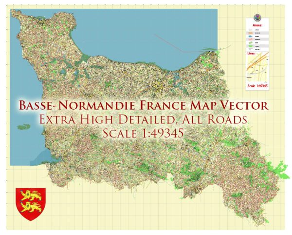
Basse-Normandie (Lower Normandy) was a historical region in northwestern France. It has since been merged with the region of Haute-Normandie to form a new region called Normandy.
- Autoroutes (Highways): Normandy is served by several autoroutes (highways) that connect it to other regions of France and neighboring countries. Some of the major autoroutes include A13, A84, and A28.
- National Roads: The region has an extensive network of national roads, such as the N13 and N158, that connect towns and cities within Normandy and to other parts of France.
- Local Roads: Local roads crisscross the region, providing access to towns, villages, and rural areas. These roads may vary in quality and size, but they are essential for local transportation.
- Scenic Routes: Normandy is known for its picturesque countryside and coastline. There are several scenic routes, like the Route du Cidre (Cider Route) and the Route des Caps (Cape Route), that allow travelers to explore the natural beauty of the region.
- Bridges and Tunnels: Normandy is home to some significant engineering feats, such as the Pont de Normandie, a cable-stayed bridge that spans the Seine River, and the Mont Saint-Michel Causeway, which provides access to the famous Mont Saint-Michel.
- Public Transportation: In addition to roads, Normandy has an extensive public transportation network, including buses and trains, connecting cities and towns. The regional train network is operated by SNCF, and buses are often operated by local transport authorities.
- Traffic and Road Conditions: Normandy experiences varying traffic conditions, with cities like Caen and Rouen having more congestion compared to rural areas. Traffic can be particularly heavy during the summer tourist season, especially in areas near the coast. Be sure to check traffic and road conditions before your journey.


 Author: Kirill Shrayber, Ph.D. FRGS