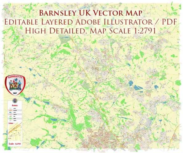
Barnsley is a town in South Yorkshire, England. It has several principal streets and areas of interest. Some of the main streets and areas in Barnsley include:
- Market Street: This is one of the primary shopping streets in Barnsley, lined with various shops and businesses.
- Cheapside: Another prominent shopping street with a mix of retail stores, restaurants, and businesses.
- Eldon Street: This street is known for its shopping options and is part of the town center.
- Queen Street: A central street in Barnsley with various shops and services.
- Shambles Street: A historical street in the town center with a mix of shops and eateries.
- Regent Street: Located in the heart of the town, it offers a range of shops and services.
- Church Street: This street is home to the Barnsley Civic Theatre and is near the town’s central square.
- Wellington Street: Close to the town’s bus and train stations, Wellington Street is a transportation hub with nearby amenities.
- Park Road: A road leading to Locke Park, a popular green space in Barnsley.
- Doncaster Road: One of the major thoroughfares in Barnsley, providing access to different parts of the town.
- Queens Ground: Home to Oakwell Stadium, the ground of Barnsley Football Club.
- Barnsley Interchange: The main transportation hub in the town, connecting bus and train services.
These are some of the principal streets and areas in Barnsley, and the town offers a variety of shops, restaurants, and services to explore. Keep in mind that the layout and prominence of streets may change over time, so it’s a good idea to check with a local map or navigation app for the most up-to-date information.


 Author: Kirill Shrayber, Ph.D. FRGS