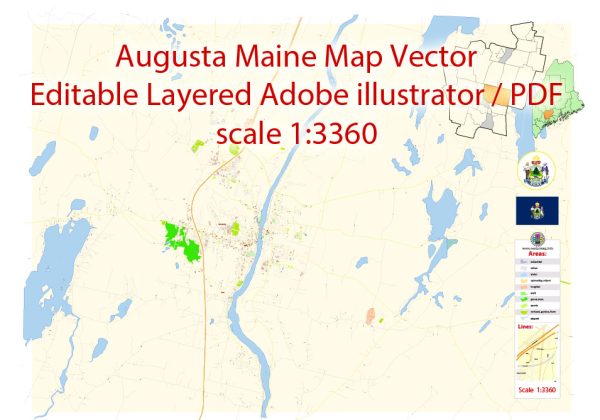
Augusta, Maine, is the capital city of the state and has several principal streets that are important for navigation and daily life. Some of the key streets in Augusta include:
- State Street: State Street is one of the main thoroughfares in Augusta and is home to many businesses, government offices, and historic buildings. The Maine State House is located on State Street.
- Water Street: Water Street runs parallel to the Kennebec River and is home to many shops, restaurants, and businesses. It’s a popular spot for shopping and dining.
- Western Avenue: Western Avenue is a major commercial and retail corridor in Augusta, with various stores and services lining the street.
- Civic Center Drive: This road leads to the Augusta Civic Center, which hosts events and conferences. It’s a well-traveled route for those attending events at the Civic Center.
- Hospital Street: Hospital Street is home to MaineGeneral Medical Center, one of the major hospitals in Augusta.
- Capitol Street: Capitol Street runs near the Maine State Capitol and connects to State Street. It’s an essential route for those visiting the state government offices.
- Bridge Street: Bridge Street connects the downtown area with the western part of Augusta, including the Kennebec River Rail Trail, a popular recreational trail.
- Cony Street: Cony Street is near Cony High School and Cony Middle School, making it a prominent street for students and parents.
- Bangor Street: Bangor Street is another main road that connects various parts of the city, including the downtown area and the western neighborhoods.
These are some of the principal streets in Augusta, but the city has a grid-like layout with many other streets that make up its urban infrastructure. The streets mentioned above are key for getting around the city and accessing important landmarks and services. Please note that the importance and development of specific streets may change over time, so it’s a good idea to check for updated local maps or GPS navigation for the most accurate information.


 Author: Kirill Shrayber, Ph.D. FRGS