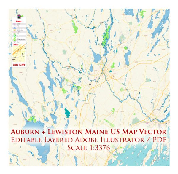
Auburn and Lewiston, Maine, are neighboring cities located in Androscoggin County, and they are situated along the Androscoggin River. These cities have a variety of water resources and bridges that play important roles in their infrastructure and recreational activities. Here is some information about the water resources and bridges in Auburn and Lewiston:
Water Resources:
- Androscoggin River: The Androscoggin River flows through both Auburn and Lewiston, providing a significant water resource for the area. The river offers opportunities for activities such as fishing, boating, and kayaking.
- Lake Auburn: Located in Auburn, Lake Auburn serves as the primary water source for the city. It is a pristine lake used for drinking water supply and recreation, including fishing and hiking along its shores.
- Sabattus Pond: While not directly in Auburn or Lewiston, Sabattus Pond is a large body of water located nearby, which provides additional recreational opportunities like boating, fishing, and swimming.
Bridges:
- Longley Memorial Bridge: The Longley Memorial Bridge is a notable bridge connecting Auburn and Lewiston over the Androscoggin River. It is a historic bridge and a vital transportation link between the two cities.
- Vietnam Veterans Memorial Bridge: This bridge, which spans the Androscoggin River, connects the cities of Auburn and Lewiston, providing another important crossing for vehicles and pedestrians.
- Bonney Park Footbridge: Located in Auburn, the Bonney Park Footbridge allows pedestrians to cross the Little Androscoggin River and provides access to Bonney Park, which features walking trails and picnic areas.
- Great Falls Dam Pedestrian Bridge: This pedestrian bridge offers stunning views of the Great Falls of the Androscoggin River. It’s a popular spot for enjoying the natural beauty of the area.
These water resources and bridges contribute to the quality of life in Auburn and Lewiston, offering both functional and recreational benefits to the local communities and visitors. They are also integral to the history and infrastructure of the area.


 Author: Kirill Shrayber, Ph.D.