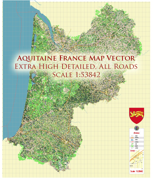
Aquitaine is a historical region in southwestern France known for its diverse water resources and numerous bridges. The region is rich in natural beauty, featuring rivers, lakes, and an extensive coastline along the Bay of Biscay. Here are some notable water resources and bridges in Aquitaine:
- Rivers:
- Garonne River: The Garonne River flows through Aquitaine, with its headwaters in the Pyrenees. It is one of the major rivers in the region and has several tributaries. The city of Bordeaux is situated along the Garonne River.
- Dordogne River: The Dordogne River, originating in the Massif Central, flows through the Dordogne department in Aquitaine. It is known for its picturesque landscapes and is a popular spot for canoeing and kayaking.
- Adour River: The Adour River flows through the Landes and Pyrénées-Atlantiques departments of Aquitaine, eventually emptying into the Bay of Biscay. It is an important river for the region’s economy and transportation.
- Lakes:
- Lac d’Hourtin-Carcans: This is one of the largest natural freshwater lakes in France and is located in the Gironde department of Aquitaine. It’s a popular destination for water sports and outdoor activities.
- Lac de Biscarrosse et de Parentis: Situated in the Landes department, this lake is the second-largest natural lake in France. It’s a great place for boating, fishing, and swimming.
- Estuaries:
- Gironde Estuary: The Gironde Estuary is formed by the confluence of the Garonne and Dordogne Rivers and is one of the largest estuaries in Europe. It is a crucial waterway for the region, and many bridges span its waters.
- Bridges:
- Pont de Pierre, Bordeaux: This historic stone bridge, also known as the Stone Bridge, crosses the Garonne River in Bordeaux. It was completed in the early 19th century and is a symbol of the city.
- Pont d’Aquitaine, Bordeaux: The Pont d’Aquitaine is a cable-stayed bridge that spans the Garonne River in Bordeaux. It is an important transport link in the region.
- Pont de Saint-Nazaire: Although not in Aquitaine, this bridge is notable for connecting the region to the Loire-Atlantique and the Pays de la Loire region. It spans the Loire River near its estuary.
- Pont d’Austerlitz, Bordeaux: This bridge, named after the Battle of Austerlitz, connects the left and right banks of the Garonne River in Bordeaux.
Aquitaine’s water resources and bridges play a significant role in the region’s transportation, commerce, and leisure activities, and they contribute to its natural beauty and cultural heritage.


 Author: Kirill Shrayber, Ph.D. FRGS