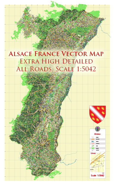
Alsace is a region in northeastern France known for its rich cultural heritage, picturesque landscapes, and historical significance. While Alsace doesn’t have any major rivers running directly through it, it is situated between two major rivers: the Rhine to the east and the Vosges Mountains to the west. Here’s some information about water resources and bridges in Alsace:
- Rivers:
- The Rhine River: The eastern border of Alsace is formed by the Rhine River, one of Europe’s major rivers. While the Rhine does not flow through Alsace itself, it plays a crucial role in the region’s water resources, serving as a natural boundary and contributing to the region’s hydrology.
- Ill River: The Ill River is a significant river in Alsace. It flows through the city of Strasbourg, the region’s capital, and eventually joins the Rhine. The Ill River is navigable and has historically been important for transportation.
- Canals:
- Canal du Rhône au Rhin: This canal runs through Alsace, connecting the Rhône River in southern France to the Rhine River in the north. It has been a key transportation route in the region.
- Canal de la Bruche: This canal connects Strasbourg to the Vosges Mountains and has been used for navigation and transportation of goods.
- Bridges:
- Alsace features numerous bridges that cross its rivers and canals. Strasbourg, in particular, has several historic and modern bridges, including the Strasbourg-Kehl Bridge (Passerelle des Deux Rives), which connects Strasbourg with Kehl in Germany across the Rhine River.
- There are also many charming, picturesque bridges in smaller towns and villages throughout Alsace, which add to the region’s scenic beauty.
Overall, while Alsace may not be as well-known for its water resources and bridges as some other regions in France, it still has an essential relationship with its rivers and canals, which have played significant roles in transportation, trade, and the overall character of the region.


 Author: Kirill Shrayber, Ph.D. FRGS