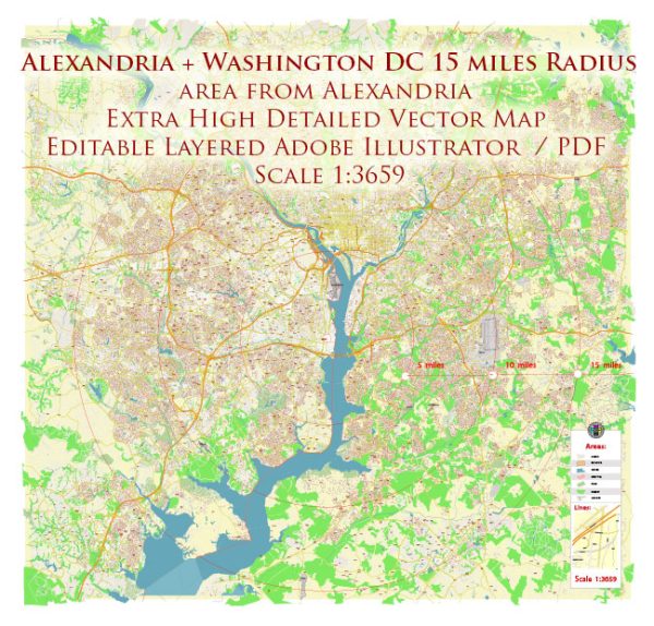
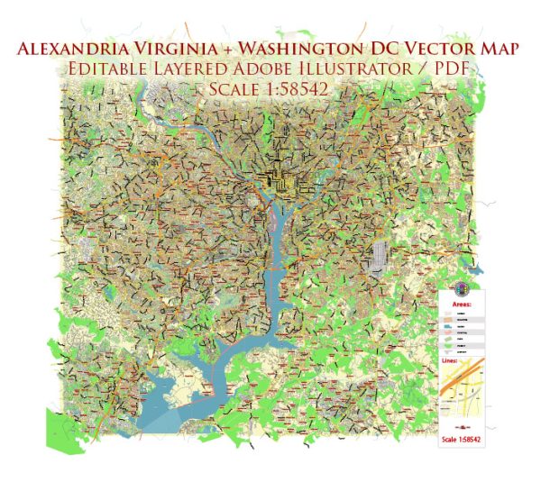
Alexandria, Virginia, and Washington, D.C., are both located in the mid-Atlantic region of the United States and are situated along the banks of the Potomac River. This proximity to the Potomac River provides them with access to important water resources, as well as numerous bridges to connect the two cities and the surrounding areas. Here’s some information about water resources and bridges in the Alexandria, Virginia, and Washington, D.C., area:
Water Resources:
- Potomac River: The Potomac River flows through both Alexandria and Washington, D.C., providing a significant source of freshwater. The river serves as a source of drinking water, recreation, and transportation.
- Chesapeake Bay: While not directly in Alexandria or D.C., the Potomac River ultimately empties into the Chesapeake Bay. The Chesapeake Bay is a critical estuary that supports diverse aquatic life and is important for regional commerce and tourism.
- Aquifer Systems: The region also relies on groundwater from various aquifers for drinking water and irrigation purposes.
Bridges:
- Woodrow Wilson Bridge: The Woodrow Wilson Bridge is one of the most notable bridges in the area, connecting Alexandria, Virginia, with Prince George’s County, Maryland, and providing a vital link for traffic crossing the Potomac River on Interstate 95.
- Francis Scott Key Bridge: This bridge, commonly known as the Key Bridge, connects the Georgetown neighborhood of Washington, D.C., with Rosslyn in Arlington, Virginia, offering a scenic crossing of the Potomac River.
- Arlington Memorial Bridge: The Arlington Memorial Bridge connects the Lincoln Memorial in Washington, D.C., with Arlington National Cemetery in Virginia. It is an iconic and important structure in the region.
- George Mason Memorial Bridge: This bridge connects the Tidal Basin area of Washington, D.C., to East Potomac Park and Hains Point, providing access to recreational areas and scenic views.
- Roosevelt Bridge: The Theodore Roosevelt Bridge spans the Potomac River and connects Constitution Avenue in Washington, D.C., with Arlington, Virginia, and serves as an important route into the nation’s capital.
These bridges play a crucial role in the transportation infrastructure of the region, facilitating the movement of people and goods between Alexandria, Virginia, and Washington, D.C., and the surrounding areas. Additionally, they contribute to the scenic beauty and accessibility of the national capital region.


 Author: Kirill Shrayber, Ph.D. FRGS