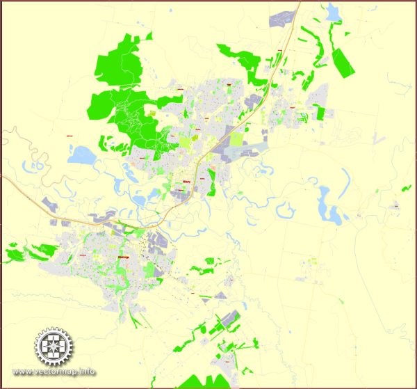
Albury-Wodonga is a twin city located on the border of New South Wales and Victoria in Australia. Both cities have their own set of principal streets. Here are some of the main streets in Albury and Wodonga:
Albury, New South Wales:
- Dean Street
- Smollett Street
- Kiewa Street
- Olive Street
- Young Street
- Mate Street
- Swift Street
- Elizabeth Mitchell Drive
- David Street
- Hovell Street
Wodonga, Victoria:
- High Street
- Elgin Boulevard
- Lawrence Street
- Stanley Street
- Thomas Mitchell Drive
- Smythe Street
- South Street
- Moorefield Park Drive
- Felltimber Creek Road
- Bonegilla Road
These are some of the major streets in each city, but there are many more smaller streets and avenues that make up the road network in Albury and Wodonga. Keep in mind that the street layout and names can change over time, so it’s a good idea to consult a local map or navigation app for the most up-to-date information.


 Author: Kirill Shrayber, Ph.D. FRGS