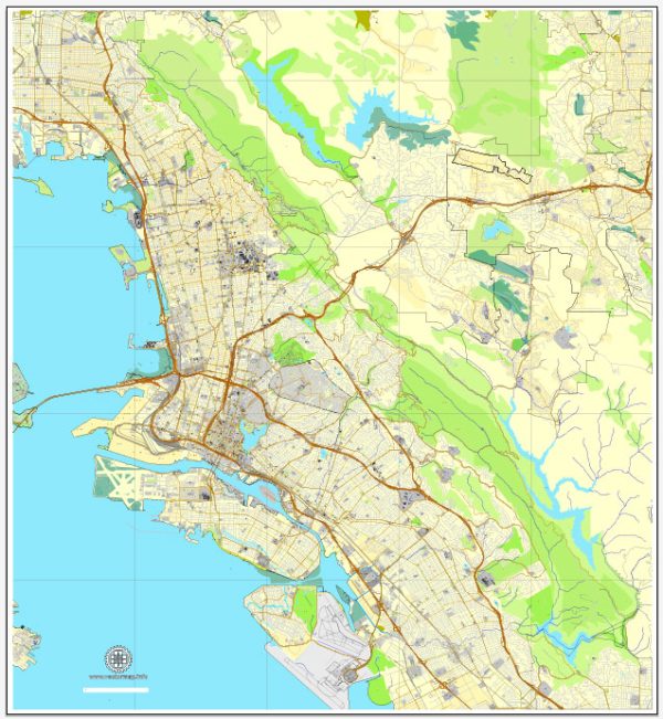
The Alameda, Oakland, and Berkeley areas in California have a variety of water resources and bridges due to their proximity to the San Francisco Bay and the greater San Francisco Bay Area. Here’s an overview of some key aspects of water resources and bridges in this region:
Water Resources:
- San Francisco Bay: The San Francisco Bay is a significant water resource for the region. It’s the largest estuary on the West Coast of the United States and provides habitat for a wide range of wildlife. It’s also essential for navigation and recreation.
- San Francisco Bay Watershed: The region is part of the larger San Francisco Bay watershed, which includes rivers, creeks, and other water bodies that flow into the bay. These watersheds are important for managing water quality, flood control, and maintaining the health of the bay ecosystem.
- Local Reservoirs: There are several reservoirs and lakes in the East Bay, such as Lake Merritt in Oakland, that serve both recreational and water supply purposes.
Bridges:
- Bay Bridge: The San Francisco-Oakland Bay Bridge is one of the most iconic bridges in the area, connecting San Francisco and Oakland. It consists of two major spans, the western span, which connects San Francisco and Yerba Buena Island, and the eastern span, which connects Yerba Buena Island to Oakland and the East Bay.
- Golden Gate Bridge: While not directly in the Alameda, Oakland, and Berkeley area, the Golden Gate Bridge is nearby in San Francisco and is one of the most famous bridges in the world. It connects San Francisco to Marin County.
- Local Bridges: There are numerous local bridges that span the various water bodies in the region, including those that cross over the Oakland Estuary and other creeks and rivers. These bridges are essential for transportation and connecting communities.
- Pedestrian and Bike Bridges: There are several pedestrian and bike bridges in the area, promoting alternative modes of transportation and recreational activities. One notable example is the Bay Bridge bike path on the eastern span of the San Francisco-Oakland Bay Bridge.
The region’s water resources and bridges play a crucial role in the transportation, economy, and quality of life for its residents. They also contribute to the natural beauty and recreational opportunities in the area.


 Author: Kirill Shrayber, Ph.D.