HISTORY of ALABAMA
More than 10,000 years ago people came to the area that is now Alabama,
some living in Russell Cave. Thousands of years later Native American tribes such as the
Cherokee, Chickasaw, Choctaw, and Creek resided in the area. Although many Native Americans were forced
to leave Alabama in the 1800s, today some descendants of those tribes still live in the state.
Spanish explorers first arrived in the 1500s. The area was controlled at different times by England,
France, then Spain again. It was finally was signed over to the United States—along with what’s now
Mississippi—in the 1795 Treaty of San Lorenzo. In 1819 Alabama became a U.S. state. It would leave the
Union in 1861, and rejoin after the Civil War.
In the 1950s and 60s, Alabama was at the center of the civil rights movement. Rosa Parks refused to
give up her seat on a bus to a white man in Montgomery. Many protests against segregation followed,
often led by Martin Luther King, Jr.
The state’s name comes from the Alabama tribe, one of the Native American groups from that area.
“Dixie” is a nickname for the southern states, especially the Confederate states, which left the Union
during the Civil War. Alabama is called the Heart of Dixie because Montgomery, Alabama,
was the first Confederate capital.
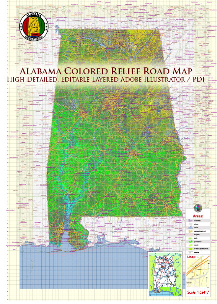
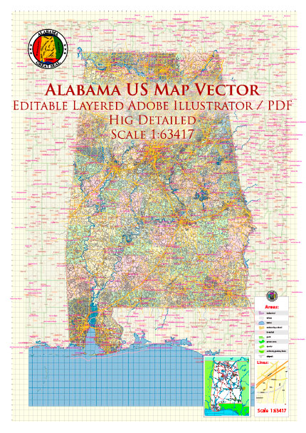
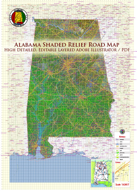
This southern state is bordered by Tennessee in the north, Georgia in the east, Florida and Mobile Bay in the south,
and Mississippi in the west.
The Highland Rim in the northwest is where you’ll find the Tennessee River valley,
while the Cumberland Plateau in the northeast is named for its flat-topped plateaus.
Just southeast is the Appalachian Ridge and Valley, which includes the Coosa River and
iron-rich Red Mountain. The Piedmont Upland, in the central eastern part of the state,
is a hilly area with Alabama’s highest peak, the 2,407-foot Cheaha Mountain. The rest of
the state is called the East Gulf Coastal Plain, which contains both flatlands and hills
plus the Alabama, the state’s largest river at 314 miles long.
Two of North America’s rarest species—the Perdido Key beach mouse and the Alabama beach mouse—hide out in Alabama.
Coyotes, armadillos, deer, feral pigs, and American alligators also roam the land. Birds such as kites,
bald eagles, and hawks dot the skies, and the Gulf Coast waterdog and the 20-inch eastern hellbender—the
biggest salamander species by weight in North America—are underfoot.
Bamboo and mistletoe grow in the state as well as other parts of the country, but the carnivorous Alabama
canebrake pitcher plant, the Alabama gladecress, and the Cahaba prairie-clover can only be found here.
The state’s hundred-plus types of trees include pines, red cedars, magnolias, and live oaks,
which are often draped with long, gray Spanish moss.
NATURAL RESOURCES
About 70 percent of Alabama is covered in forests, so it’s no wonder the state is known for its timber.
Alabama’s vast forests would cover Rhode Island, Delaware, Massachusetts, New Jersey, and Connecticut!
Alabama is also rich in limestone, coal, and iron ore, which are the three raw materials
needed to make steel. In fact Alabama is home to three of the nation’s top pipe-making companies.
Source: https://kids.nationalgeographic.com/geography/states/article/alabama


 Author: Kirill Shrayber, Ph.D. FRGS