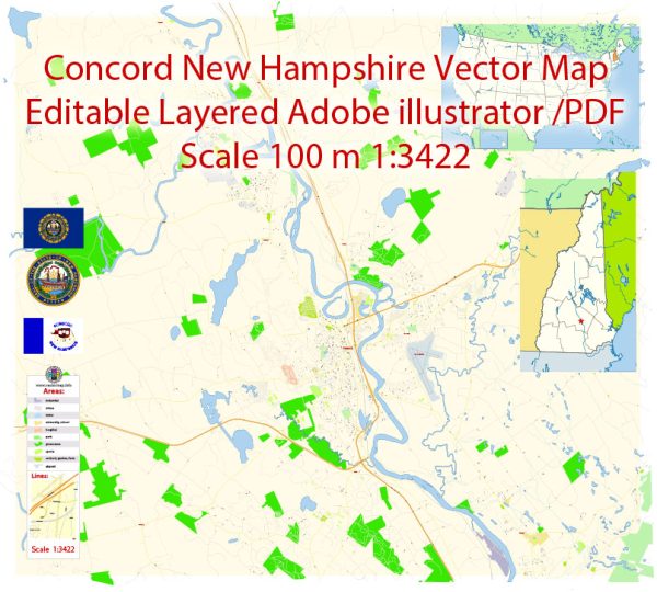
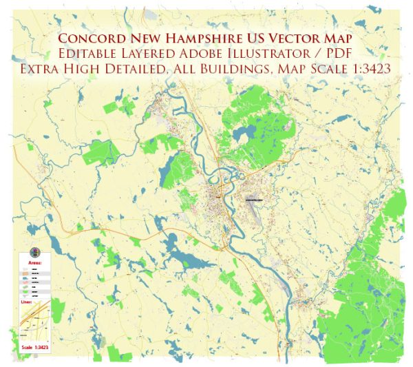
Concord, New Hampshire, is situated along the Merrimack River and has several water resources and bridges that play an important role in the city’s infrastructure and transportation. Here are some of the key water resources and bridges in Concord:
Water Resources:
- Merrimack River: The Merrimack River flows through Concord, providing a significant water resource. It has historically been important for transportation and trade, and today, it supports recreational activities such as fishing, kayaking, and boating.
- Contoocook River: The Contoocook River, a tributary of the Merrimack River, also flows through Concord. It merges with the Merrimack River in the city, adding to the area’s water resources.
Bridges:
- Sewalls Falls Bridge: The Sewalls Falls Bridge crosses the Merrimack River in Concord. It is a steel truss bridge and is part of Route 132. The bridge offers scenic views of the river and provides a crucial transportation link in the area.
- Bridge Street Bridge: The Bridge Street Bridge is another bridge that spans the Merrimack River in Concord. It connects Bridge Street on the west side of the river to Loudon Road on the east side.
- Main Street Bridge: The Main Street Bridge is a historic steel truss bridge that connects the downtown area of Concord with the east side of the Merrimack River. It is an iconic structure and a key transportation route.
- Sewalls Falls Road Bridge: This bridge carries Sewalls Falls Road over the Merrimack River and provides access to the Sewalls Falls Recreation Area. It’s a popular spot for outdoor activities and offers scenic views of the river.
- Fisherville Road Bridge: This bridge crosses the Contoocook River and provides a connection between the west and east sides of Concord, facilitating local transportation.
- Langley Parkway Bridge: The Langley Parkway Bridge, also known as the Langley Parkway Pedestrian Bridge, is a footbridge that spans the Merrimack River. It’s primarily used for pedestrians and cyclists and offers a beautiful view of the river and the city.
These water resources and bridges in Concord play a vital role in the city’s transportation network, and they also add to the scenic beauty and recreational opportunities in the area. The Merrimack River, in particular, has been historically important for trade and commerce in the region.


 Author: Kirill Shrayber, Ph.D. FRGS