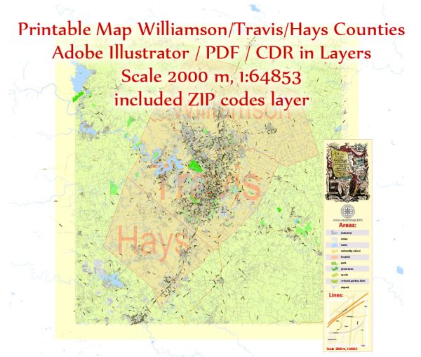
Austin is the capital of Texas and is located in Travis County. Here are some of the principal streets and highways in Austin and the surrounding area:
- Interstate 35 (I-35): This major north-south interstate runs through the heart of Austin and connects the city to other major Texas cities like San Antonio and Dallas.
- MoPac Expressway (Loop 1): Also known as Loop 1, this north-south toll road is a key route for commuters on the western side of Austin.
- US Highway 183: US 183 is another major north-south highway in Austin that runs through the city.
- US Highway 290: US 290 is an east-west highway that runs through Austin, connecting the city to nearby towns and Houston.
- Texas State Highway 71: This east-west highway runs from Austin to the east, connecting the city to Houston.
- Texas State Highway 45 (SH 45): A tolled highway that provides a bypass route around northern Austin, helping to ease traffic congestion.
- Texas State Highway 130 (SH 130): A toll road that bypasses the eastern side of Austin and provides a faster route for travelers heading north or south.
- Congress Avenue: A historic street in downtown Austin, known for its shops, restaurants, and the Texas State Capitol building.
- Lamar Boulevard: Another important north-south road that runs through the city.
- Guadalupe Street (The Drag): Located near the University of Texas at Austin, this street is known for its student-oriented shops and businesses.
- 6th Street: Famous for its nightlife and entertainment, this is a popular street in downtown Austin.
- Barton Springs Road: Leads to Barton Springs Pool and Zilker Park, a popular recreational area.
- South Congress Avenue (SoCo): A trendy street known for its unique shops, restaurants, and the iconic “I love you so much” mural.
- Cesar Chavez Street: Another major east-west road in downtown Austin.
- Oltorf Street: Runs through the southern part of Austin and provides access to various neighborhoods.
Please note that the layout and conditions of these roads may change over time due to construction or development. It’s always a good idea to check a current map or GPS for the most up-to-date information and directions.


 Author: Kirill Shrayber, Ph.D.