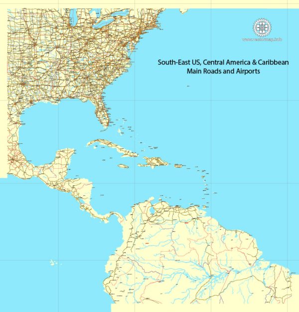
The southeastern United States is a region with diverse geology, featuring a mix of geological features and formations that have developed over millions of years. Here’s a general overview of the geology of the Southeastern United States:
- Piedmont Plateau: This region, which extends from the Atlantic coastal plain to the Blue Ridge Mountains, is characterized by rolling hills and uplands. The Piedmont is underlain by ancient igneous and metamorphic rocks. These rocks were formed deep within the Earth’s crust and have been exposed through erosion. Granite, gneiss, and schist are common rock types in this area.
- Blue Ridge Mountains: Located in the western part of the region, the Blue Ridge Mountains are part of the Appalachian Mountain range. They are characterized by rugged terrain, high elevations, and abundant forests. The rocks of the Blue Ridge are predominantly ancient granitic and metamorphic rocks.
- Appalachian Plateau: To the west of the Blue Ridge Mountains lies the Appalachian Plateau, also known as the Cumberland Plateau. This region is characterized by high plateaus and deeply dissected canyons. The rocks in this area are predominantly sedimentary in nature, including sandstones, shales, and coals. The Cumberland Gap, where Kentucky, Tennessee, and Virginia meet, is a notable feature in this region.
- Coastal Plain: The southeastern coastal plain stretches along the Atlantic Ocean and Gulf of Mexico. It consists of low-lying, flat terrain and is primarily composed of unconsolidated sediments, including sand, clay, and limestone. This region is known for its wetlands, swamps, and barrier islands. Fossils are often found in the sedimentary layers of the Coastal Plain.
- Florida Peninsula: The Florida Peninsula is a unique geological feature in the Southeast. It is a large, mostly flat limestone platform, underlain by porous limestone and karst topography. Sinkholes, springs, and extensive cave systems are common features in this region. Florida is also known for its extensive aquifer systems, which provide the majority of the state’s drinking water.
- Faults and Seismic Activity: The southeastern United States is not as seismically active as some other regions of the country, but it is not devoid of earthquake activity. The Eastern Tennessee Seismic Zone and the South Carolina Seismic Zone are two areas that have experienced notable earthquakes in the past. These events are relatively infrequent but can have significant impacts on the region.
- Mineral Resources: The Southeast has a history of mining activities, including coal mining in the Appalachian Plateau and the extraction of various minerals and resources like granite, marble, and kaolin (used in the production of paper and ceramics).
- Karst Landscapes: Karst landscapes, characterized by sinkholes, caves, and underground drainage systems, are prevalent in some parts of the Southeast, particularly in Florida and parts of Kentucky and Tennessee.
- Coastal Erosion: Coastal regions in the Southeast are vulnerable to erosion and sea-level rise, which can have a significant impact on the landscape and infrastructure.
Overall, the geology of the southeastern United States is diverse, ranging from ancient, hard crystalline rocks in the Piedmont and Blue Ridge Mountains to relatively young sediments in the coastal plains. This geological diversity has played a significant role in shaping the natural features and resources of the region.


 Author: Kirill Shrayber, Ph.D.