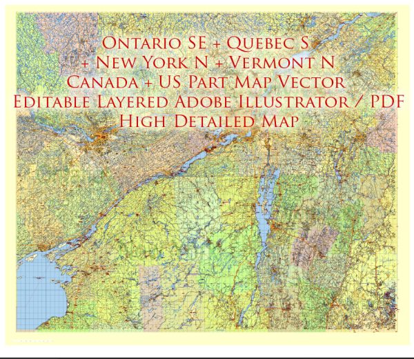
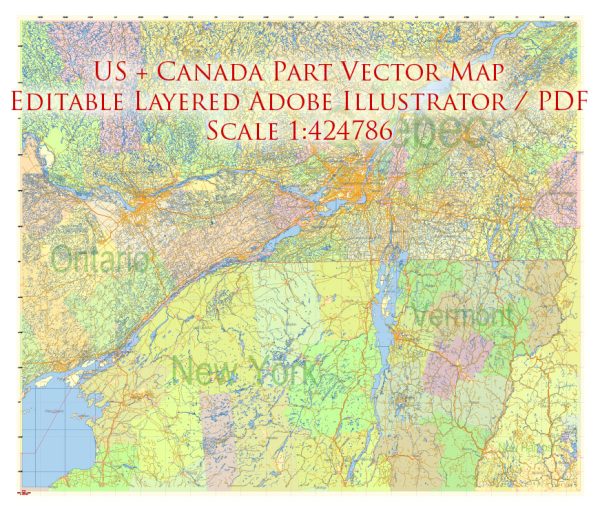
The geology of the northeastern United States and southeastern Canada is characterized by a complex and diverse geological history. This region is part of the larger North American continent and has been shaped by a variety of geological processes over millions of years. Here is a brief description of the geology of this area:
- Appalachian Mountains: The Appalachian Mountains extend from Alabama in the southeastern United States to the Gaspé Peninsula in Quebec, Canada. They are one of the prominent geological features in the region. The Appalachian Mountains were formed during the Paleozoic Era, primarily in the late Ordovician to early Pennsylvanian periods, as a result of tectonic plate collisions. This mountain range contains a mix of folded and faulted sedimentary rocks, including shale, sandstone, and limestone.
- The Taconic Mountains: The Taconic Mountains are a subrange of the Appalachian Mountains and are located in parts of Vermont, Massachusetts, and New York. These mountains are known for their complex geological history, including the collision of various tectonic plates and the creation of various rock formations.
- Glacial Deposits: During the Pleistocene epoch, the northeastern United States and southeastern Canada were covered by glaciers. The movement of these glaciers left behind various deposits, including till, moraines, and outwash plains. The landscape in this region has been significantly shaped by glacial erosion and deposition.
- Coastal Geology: The eastern coast of the region is characterized by a dynamic coastal geology. Coastal landforms, such as barrier islands, salt marshes, and coastal dunes, have been shaped by a combination of rising sea levels, tides, and the action of waves and currents.
- Sedimentary Basins: The region also contains various sedimentary basins, including the Connecticut River Valley and the Hudson Valley. These basins are filled with sediments eroded from the surrounding mountains and have rich soils that support agriculture.
- Volcanic Activity: Although not as prominent as the western United States, there have been periods of volcanic activity in the northeastern United States, particularly in areas like the White Mountains of New Hampshire and the Adirondack Mountains in New York. These volcanic rocks are remnants of ancient volcanic activity.
- Precambrian Geology: In the Canadian Shield, which extends into northeastern Canada, you can find some of the oldest rocks on Earth. This region has a complex geological history, with rocks dating back over a billion years.
- Earthquakes: While the region is not as seismically active as the western United States, there is a potential for earthquakes, particularly in the St. Lawrence River Valley and the New Madrid Seismic Zone in the Midwest.
Overall, the geology of the northeastern United States and southeastern Canada is a testament to the region’s long and varied geological history, with evidence of ancient mountain-building events, glacial activity, and ongoing geological processes.


 Author: Kirill Shrayber, Ph.D.