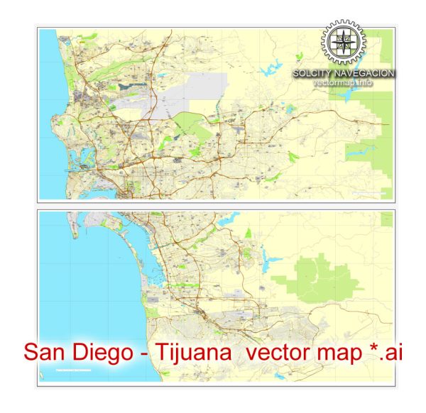
San Diego, California, and Tijuana, Mexico are neighboring cities, and they are connected by several border crossings. The two most well-known border crossings in this area are:
- San Ysidro Port of Entry: This is the busiest border crossing in the world and connects San Diego, California, with Tijuana, Baja California, Mexico. Some of the principal streets leading to this border crossing on the U.S. side include San Ysidro Boulevard and Camino de la Plaza.
- Otay Mesa Port of Entry: This border crossing is also in San Diego and connects to the Mesa de Otay area in Tijuana. Some of the principal streets leading to this border crossing on the U.S. side include Otay Mesa Road and Enrico Fermi Drive.
Please note that the exact streets and routes you take may vary depending on your starting point in San Diego, so it’s a good idea to use a navigation app or GPS for precise directions. Additionally, border crossing conditions and regulations can change, so it’s important to check for the most up-to-date information and wait times if you plan to cross the border between these two cities.


 Author: Kirill Shrayber, Ph.D. FRGS