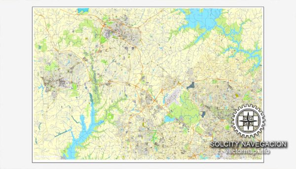
Raleigh, Chapel Hill, and Durham are three prominent cities located in the Research Triangle region of North Carolina, United States. Here’s a geographical description of each city:
- Raleigh:
- Raleigh is the capital city of North Carolina and serves as the political and administrative center of the state.
- It is located in the central part of the state, in Wake County.
- Raleigh is known for its grid-like street layout and numerous government buildings, including the North Carolina State Capitol.
- The city is part of the Research Triangle Park (RTP) region, which is home to numerous tech companies, research institutions, and universities.
- Raleigh’s coordinates are approximately 35.7796° N latitude and 78.6382° W longitude.
- Chapel Hill:
- Chapel Hill is a town situated in the western part of North Carolina, within Orange County.
- It is renowned for being home to the University of North Carolina at Chapel Hill, one of the oldest public universities in the United States.
- The town has a distinct character, with a vibrant cultural and academic scene.
- Chapel Hill is known for its beautiful landscapes and tree-lined streets.
- Coordinates for Chapel Hill are approximately 35.9046° N latitude and 79.0469° W longitude.
- Durham:
- Durham is another city located in the Research Triangle region of North Carolina and is the county seat of Durham County.
- It is known for its rich history, vibrant arts and culture scene, and proximity to renowned educational and research institutions like Duke University.
- Durham has a diverse economy with a mix of industries, including healthcare, technology, and education.
- The city features a blend of historic architecture and modern development.
- Durham’s coordinates are approximately 35.9940° N latitude and 78.8986° W longitude.
The Research Triangle area, encompassing Raleigh, Chapel Hill, and Durham, is known for its educational and research institutions, making it a hub for innovation, technology, and higher education in the United States. The cities are relatively close to one another, creating a well-connected metropolitan area with various amenities and opportunities for residents and visitors.


 Author: Kirill Shrayber, Ph.D. FRGS