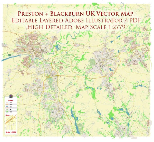
Preston and Blackburn are neighboring towns in the Lancashire county of the United Kingdom. Here are some principal streets and areas in both cities:
Preston:
- Fishergate – The main shopping street in Preston.
- Market Street – Another major shopping area in the city.
- Lancaster Road – Home to many businesses and restaurants.
- Friargate – A historic street with a mix of shops and businesses.
- Winckley Square – A beautiful Georgian square in the city center.
- Avenham Park – A scenic park area with walking paths and the River Ribble.
- Deepdale Road – Home to Deepdale Stadium, the home of Preston North End Football Club.
- Garstang Road – Connecting the city to the nearby town of Garstang.
- Fulwood – A suburban area in the north of Preston with various residential streets.
Blackburn:
- King William Street – A major shopping and commercial street in the town.
- Church Street – Another important shopping area in Blackburn.
- Cathedral Quarter – Surrounding Blackburn Cathedral and featuring various historic buildings.
- Whalley Range – A residential area to the south of the town center.
- Ewood Park – The home of Blackburn Rovers Football Club.
- Wainwright Bridge – A bridge that crosses the River Darwen.
- Audley Range – A residential area with a mix of housing options.
Please note that these lists are not exhaustive, and there are many more streets and areas in both Preston and Blackburn. These are some of the principal and notable ones in each city.


 Author: Kirill Shrayber, Ph.D. FRGS