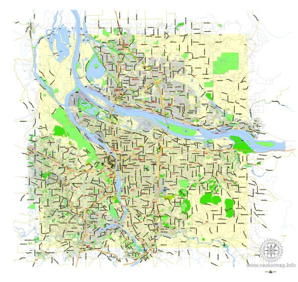
Portland, Oregon, and Vancouver, Washington, are two cities located in the Pacific Northwest of the United States. Each city has its own grid of principal streets. Here are some of the main streets in each city:
Portland, Oregon:
- Burnside Street: This is a major east-west street running through the city, dividing it into North and South sections.
- Hawthorne Boulevard: Known for its trendy shops and restaurants, Hawthorne is a popular street in Southeast Portland.
- Division Street: Another well-known street in Southeast Portland, Division is home to numerous restaurants, bars, and shops.
- Naito Parkway: This street runs along the Willamette River and provides access to several downtown attractions.
- MLK Jr. Boulevard: Named after civil rights leader Martin Luther King Jr., this boulevard is a significant north-south thoroughfare.
- Sandy Boulevard: A major street in Northeast Portland, Sandy Boulevard is lined with businesses and serves as a major transportation route.
- Interstate Avenue: This street runs parallel to Interstate 5 and is a key north-south route in North Portland.
Vancouver, Washington:
- Main Street: This is the primary street in downtown Vancouver, known for its shops, restaurants, and historic architecture.
- Fourth Plain Boulevard: A major east-west thoroughfare that crosses the city and provides access to various neighborhoods.
- Mill Plain Boulevard: Another important east-west street, Mill Plain is known for its commercial development.
- Andresen Road: This north-south road runs through the city and offers access to various businesses and residential areas.
- St. Johns Boulevard: This street connects various neighborhoods and provides access to local amenities.
- Highway 14: Also known as the Lewis and Clark Highway, this road connects Vancouver to other parts of Washington state and the Columbia River Gorge.
These are just a few examples of principal streets in Portland, Oregon, and Vancouver, Washington. Each city has a more extensive street network, and there are many other significant streets that serve different neighborhoods and purposes within these cities.


 Author: Kirill Shrayber, Ph.D.