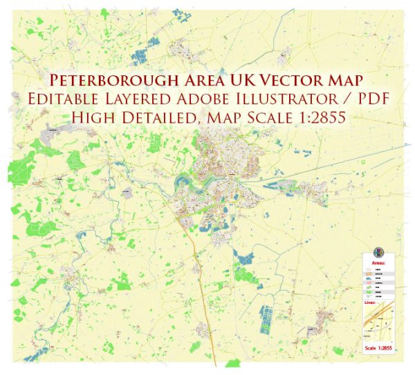
The Peterborough area in the United Kingdom doesn’t have an abundance of traditional natural resources like minerals or oil. However, it is known for its natural beauty and environmental resources. Some of the key natural features and resources in the Peterborough area include:
- Fens: The Peterborough area is situated in the East of England and is part of the Fenland region, characterized by its flat, low-lying landscape with extensive marshes, wetlands, and peat bogs. These wetlands are ecologically important and support a variety of wildlife.
- Farmland: The region is predominantly agricultural, with a focus on arable farming. It produces crops like wheat, barley, sugar beet, and potatoes.
- Rivers and Waterways: The River Nene flows through Peterborough, and its waterways play a vital role in the local ecosystem and offer recreational opportunities.
- Wildlife: The Fens and the surrounding areas are rich in wildlife, including various bird species, amphibians, and aquatic life. Some nature reserves and parks in the region provide opportunities for birdwatching and conservation efforts.
- Peat: The Fens are historically known for their peat bogs, which have been used for fuel and horticultural purposes. However, peat extraction has raised environmental concerns, and there have been efforts to restore these areas.
- Woodlands: While the region is not dominated by forests, there are woodlands and wooded areas within and around Peterborough that contribute to the local biodiversity.
- Recreational Areas: The Peterborough area features various parks, nature reserves, and green spaces that provide opportunities for outdoor activities and recreation.
It’s important to note that the economic focus of the Peterborough area has shifted towards services, industry, and retail in recent years, with an emphasis on sustainability and environmental conservation. While traditional natural resources may not be abundant, the region has been working to preserve and make the most of its natural assets for environmental and recreational purposes.


 Author: Kirill Shrayber, Ph.D.