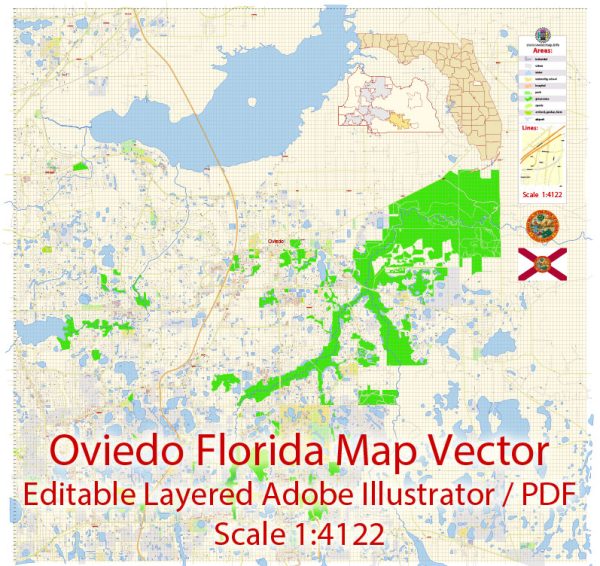
Oviedo, Florida is a small city in Seminole County with a grid-like street layout. Some of the principal streets in Oviedo include:
- Oviedo Boulevard: This is a major road running through the city, providing access to various neighborhoods, businesses, and shopping centers.
- Mitchell Hammock Road: Mitchell Hammock Road is another important thoroughfare in Oviedo, connecting different parts of the city and providing access to State Road 434.
- State Road 434: While not within the city limits of Oviedo, SR 434 is a significant road just south of Oviedo, providing access to the city and connecting it to neighboring communities.
- Lockwood Boulevard: Lockwood Boulevard runs through Oviedo and is an important road for local traffic.
- Alafaya Trail: Alafaya Trail is a major road located just to the east of Oviedo, and it serves as a primary route for commuting to the University of Central Florida (UCF) and the Waterford Lakes area.
- Broadway Street: Broadway Street is a central road that intersects with Oviedo Boulevard and provides access to various local businesses and neighborhoods.
- McCulloch Road: McCulloch Road runs through Oviedo, connecting various residential areas and schools.
- East Mitchell Hammock Road: This road extends from Mitchell Hammock Road and provides access to the eastern parts of Oviedo.
Please note that Oviedo may have additional streets and roads, but these are some of the principal streets that help residents navigate the city. It’s always a good idea to consult a local map or navigation app for more detailed and up-to-date information.


 Author: Kirill Shrayber, Ph.D. FRGS