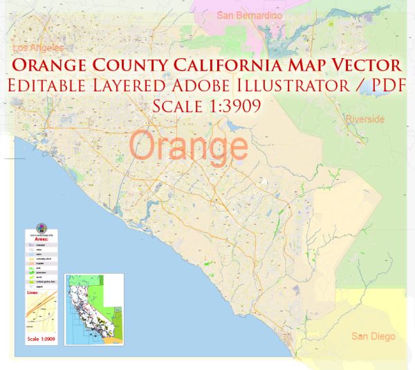
Orange County, California has a vast network of streets and roads. Some of the principal streets and highways in the county include:
- Interstate 5 (I-5): A major north-south freeway that runs through the western part of Orange County.
- Interstate 405 (I-405): A major north-south freeway that runs through the heart of Orange County, passing through cities like Irvine and Santa Ana.
- State Route 22 (SR-22): Also known as the Garden Grove Freeway, it connects the coastal areas of Orange County with the inland regions.
- State Route 55 (SR-55): A north-south highway that provides access to cities like Anaheim and Santa Ana.
- State Route 57 (SR-57): A north-south highway that runs through the eastern part of Orange County.
- State Route 91 (SR-91): Also known as the Riverside Freeway, it connects Orange County to the Inland Empire and Riverside County.
- Pacific Coast Highway (PCH or SR-1): A scenic north-south highway that runs along the coast and provides access to beach cities like Huntington Beach, Newport Beach, and Laguna Beach.
- Beach Boulevard: A major north-south road that runs through several cities, including Buena Park, Anaheim, and Huntington Beach.
- Chapman Avenue: A well-traveled east-west road that passes through cities like Orange and Fullerton.
- Katella Avenue: An east-west road that is particularly important in Anaheim, home to Disneyland and the Honda Center.
- Harbor Boulevard: A prominent north-south road in Anaheim and Garden Grove, known for its many hotels and attractions.
- Jamboree Road: A major road that runs through Irvine and provides access to various business parks and residential areas.
- El Toro Road: An east-west road running through cities like Lake Forest, Laguna Hills, and Mission Viejo.
- Newport Boulevard: A key road in Newport Beach, connecting the coast to the inland areas.
- La Palma Avenue: An east-west road that passes through cities like Anaheim and Buena Park.
These are just a few of the principal streets and highways in Orange County, and the county has an extensive road network to accommodate its large population and vibrant communities. The county is well-connected, making it relatively easy to navigate and access various attractions and destinations.


 Author: Kirill Shrayber, Ph.D. FRGS