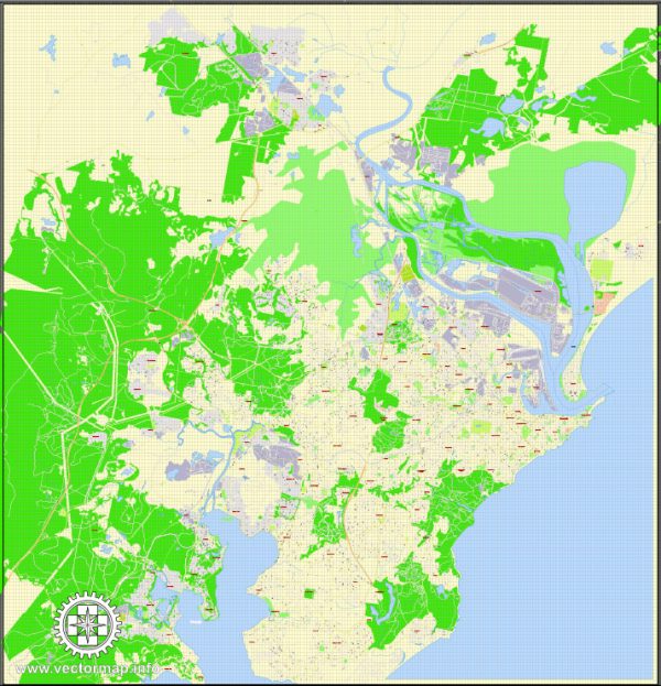
Newcastle, Australia, has several principal streets and thoroughfares that are important for navigation and offer access to various businesses, attractions, and amenities. Here are some of the principal streets in Newcastle:
- Hunter Street: Hunter Street is one of the main streets in the central business district of Newcastle. It is lined with shops, restaurants, and various businesses. The eastern end of Hunter Street leads to Nobby’s Beach, while the western end connects to Newcastle Harbour.
- Scott Street: Scott Street runs parallel to Hunter Street and is another important street in the city center. It’s home to various retail and commercial establishments.
- King Street: King Street intersects with Hunter Street and is known for its shopping and dining options. It’s a popular spot for both locals and tourists.
- Beaumont Street: Located in the suburb of Hamilton, Beaumont Street is known for its vibrant restaurant and cafe scene. It’s a hub of dining and entertainment options.
- Wharf Road: Wharf Road is located along the waterfront and offers beautiful views of Newcastle Harbour. You can find several restaurants, bars, and cultural attractions along this street.
- Darby Street: Darby Street is a popular and trendy destination for shopping, dining, and exploring art galleries. It’s located in the suburb of Cooks Hill.
- Honeysuckle Drive: This waterfront promenade is home to a range of restaurants, bars, and recreational spaces, offering stunning views of the harbor.
- Pacific Highway: The Pacific Highway passes through Newcastle, connecting it to other towns and cities in New South Wales. It is a major transportation route in the region.
- Hannell Street: Hannell Street runs through the suburbs of Wickham and Islington and is an important thoroughfare for local traffic.
- Maitland Road: Maitland Road, also known as the New England Highway, is another significant road that passes through Newcastle and connects it to Maitland and other parts of the Hunter Region.
These are some of the principal streets in Newcastle, but the city has a comprehensive road network that includes many more streets and avenues, each with its unique character and offerings. Whether you’re looking for shopping, dining, or exploring the city’s attractions, these streets provide a good starting point for your visit.


 Author: Kirill Shrayber, Ph.D. FRGS