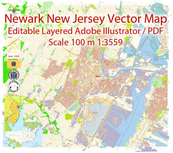
Newark, New Jersey, is a city with a grid-like street layout, and it has several important and principal streets. Some of the key streets in Newark include:
- Broad Street: Broad Street is one of the main thoroughfares in Newark and is home to many businesses, cultural institutions, and government buildings. It runs through the heart of the city.
- Market Street: Market Street is another major east-west thoroughfare that intersects with Broad Street and is known for its shopping and dining options.
- Raymond Boulevard: This street runs parallel to Broad Street and serves as a major transportation corridor with access to Newark Penn Station, where you can catch Amtrak and New Jersey Transit trains.
- Mulberry Street: Mulberry Street is a prominent north-south street in Newark, running through the downtown area and providing access to various businesses and attractions.
- Halsey Street: Halsey Street is a historic street in Newark’s downtown, known for its restaurants, shops, and cultural venues.
- McCarter Highway: Also known as Route 21, McCarter Highway is a major north-south highway that runs through Newark and provides access to other parts of New Jersey.
- University Avenue: University Avenue is home to several educational institutions, including Rutgers University and the New Jersey Institute of Technology.
- Springfield Avenue: Springfield Avenue is another important east-west street in Newark, offering access to various neighborhoods and businesses.
- Clinton Avenue: Clinton Avenue runs through the city’s South Ward and connects various residential areas and community facilities.
- South Orange Avenue: South Orange Avenue is a significant street in Newark’s West Ward and connects the city to neighboring towns like South Orange and Maplewood.
These are some of the principal streets in Newark, and they form the backbone of the city’s transportation and commercial infrastructure. Keep in mind that Newark has many more streets and avenues that serve various purposes and neighborhoods throughout the city.


 Author: Kirill Shrayber, Ph.D. FRGS