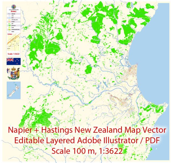
Napier and Hastings are neighboring cities located in the Hawke’s Bay region of New Zealand. They each have their own set of principal streets. Here are some of the main streets in Napier and Hastings:
Napier, New Zealand:
- Marine Parade: This iconic street runs along the coastline and features many attractions, including the National Aquarium of New Zealand and the Napier Sound Shell.
- Tennyson Street: Tennyson Street is a central street in Napier and is known for its shops, restaurants, and cafes.
- Emerson Street: Another central street known for its shopping and dining options, it’s the heart of Napier’s Art Deco Quarter.
- Herschell Street: This street leads to the Ahuriri Marina and the West Quay waterfront area.
- Kennedy Road: Running through the city, Kennedy Road is a significant arterial route in Napier.
Hastings, New Zealand:
- Heretaunga Street: The main street in Hastings, it’s lined with shops, restaurants, and various businesses.
- Tomoana Road: This major road connects the western and eastern parts of Hastings.
- Karamu Road: Another important road that traverses Hastings and connects with surrounding areas.
- Queen Street: A prominent street in the city center, offering shopping and dining opportunities.
- Maraekakaho Road: This road leads to the northern parts of Hastings and the wider Hawke’s Bay region.
These are just a few of the principal streets in Napier and Hastings, and there are many more streets and roads that make up the city’s road network. Please note that the prominence of streets may change over time due to developments and infrastructure projects, so it’s always a good idea to refer to local maps or navigation tools for the most up-to-date information.


 Author: Kirill Shrayber, Ph.D. FRGS