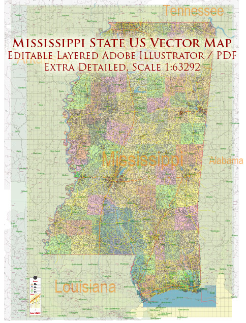
Mississippi is a state located in the southeastern United States, and it is known for its extensive water resources, including rivers, lakes, and a significant portion of the Gulf of Mexico coastline. Some of the key water resources and information about bridges in Mississippi include:
- Mississippi River: The Mississippi River is one of the major waterways in the United States, and it forms the western border of the state. It plays a crucial role in transportation and commerce, and numerous bridges cross the river in Mississippi, connecting the state with Louisiana.
- Gulf of Mexico: Mississippi has a significant coastline along the Gulf of Mexico, which provides access to the ocean for trade and fishing. The state is home to several ports and harbors.
- Major Rivers: Apart from the Mississippi River, Mississippi is intersected by several other rivers, including the Yazoo River, the Pearl River, and the Pascagoula River. These rivers are important for transportation and recreation.
- Lakes: Mississippi has numerous lakes, including Sardis Lake, Enid Lake, and Grenada Lake. These lakes serve various purposes, including flood control, water supply, and recreational activities.
- Bridges: Mississippi has a network of bridges that span its various waterways, including the Mississippi River and its tributaries. Some notable bridges in Mississippi include:
- Hernando De Soto Bridge: This bridge spans the Mississippi River and connects Memphis, Tennessee, with West Memphis, Arkansas, near the northern border of Mississippi.
- Vicksburg Bridge: It is another bridge that crosses the Mississippi River and connects Vicksburg, Mississippi, with Delta, Louisiana.
- Biloxi Bay Bridge: Located on the Mississippi Gulf Coast, this bridge connects Biloxi and Ocean Springs, serving as a vital transportation link.
- Pearl River Bridge: This bridge spans the Pearl River and connects the cities of Jackson, Mississippi, and Flowood, Mississippi.
- Flood Control: Given the risk of flooding in some parts of Mississippi, various levees, dams, and flood control structures are in place to manage water resources and protect communities.
The management of water resources and infrastructure such as bridges is vital for the economic and social well-being of the state. The Mississippi Department of Transportation (MDOT) is responsible for overseeing the maintenance and construction of the state’s bridges and transportation infrastructure, while other state and federal agencies handle water resource management, flood control, and environmental protection in the region.


 Author: Kirill Shrayber, Ph.D. FRGS