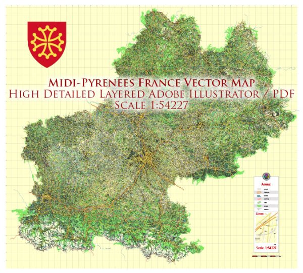
The Midi-Pyrénées region, now part of the larger Occitanie region in southern France, features a diverse and interesting geological landscape. Its geology is shaped by a complex history of tectonic activity, erosion, and sedimentation. Here’s a brief description of the geology of the Midi-Pyrénées region:
- Mountain Ranges: The Midi-Pyrénées region is dominated by the Pyrenees mountain range, which forms the natural boundary between France and Spain. This range was formed as a result of the collision of the Iberian and Eurasian plates. It’s characterized by numerous peaks and valleys, making it a paradise for hikers and mountaineers.
- Sedimentary Rocks: The Pyrenean foothills and lowlands contain a variety of sedimentary rocks, including limestone and shale. These rocks were formed in ancient seas and are rich in fossils, providing valuable insights into the region’s prehistoric marine history.
- Volcanic Activity: The Massif Central, located in the northern part of the region, features extensive volcanic activity. It’s known for its unique volcanic landscapes, including volcanic cones, craters, and basalt plateaus. The region’s most famous volcanic formation is the Puy de Dôme.
- Karst Topography: In parts of the region, especially in the Causses area, you can find karst topography characterized by limestone plateaus, sinkholes, caves, and underground rivers. The Gorges du Tarn is a famous example of this landscape.
- Mineral Resources: Midi-Pyrénées has a history of mining due to its mineral wealth. It’s known for its deposits of lead, zinc, and other metals, as well as salt. The geological composition of the region has been a significant driver of economic activities like mining.
- Glacial Landforms: During the last ice age, glaciers sculpted the landscape of the Pyrenees, leaving behind U-shaped valleys, cirques, and moraines. These glacial landforms are evident in the high mountain regions.
- River Systems: Several major rivers, including the Garonne and the Tarn, traverse the region. Over time, these rivers have carved deep valleys and canyons into the landscape, adding to the region’s geological diversity.
- Agricultural Soils: The region’s geology has also played a crucial role in shaping its agricultural landscape. The fertile soils in the plains and valleys support a variety of crops, including vineyards, which are famous for producing wine such as those in the Gaillac region.
The geology of the Midi-Pyrénées region is fascinating and has contributed to the region’s natural beauty and cultural heritage. Its diverse geological features provide opportunities for outdoor activities, scientific research, and a unique understanding of Earth’s history.


 Author: Kirill Shrayber, Ph.D. FRGS