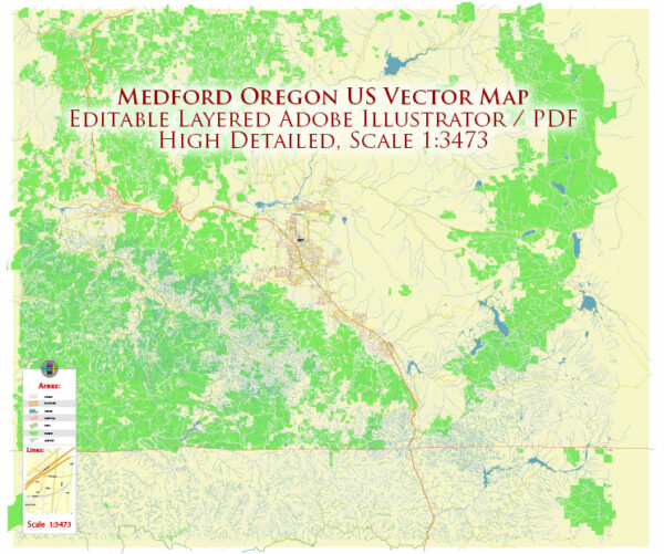
Medford, Oregon is a city with a grid-style street layout, and some of its principal streets include:
- Main Street (also known as Highway 99): Main Street is one of the main north-south routes through Medford, and it is home to many businesses and restaurants.
- Riverside Avenue: Riverside Avenue runs parallel to Main Street and is another important north-south thoroughfare, offering access to various shops and services.
- Central Avenue: Central Avenue is an east-west road that intersects Main Street and Riverside Avenue, and it provides access to the downtown area.
- Jackson Street: Jackson Street runs parallel to Main Street and Riverside Avenue to the east, and it’s another significant north-south street.
- Stewart Avenue: Stewart Avenue is another major east-west road in Medford, connecting various parts of the city.
- Court Street: Court Street is another east-west road, running through the heart of downtown Medford.
- McAndrews Road: McAndrews Road is a significant east-west thoroughfare that extends across the city, providing access to various neighborhoods and commercial areas.
- Barnett Road: Barnett Road is a major east-west road that runs through the northern part of the city, connecting to various shopping centers and residential areas.
- Biddle Road: Biddle Road is an important road on the east side of Medford, offering access to several businesses and residential neighborhoods.
- Stewart Avenue: Stewart Avenue runs through the city from east to west, connecting various parts of Medford.
These are some of the principal streets in Medford, but the city has a comprehensive grid of streets, making it easy to navigate and access various parts of the city.


 Author: Kirill Shrayber, Ph.D. FRGS