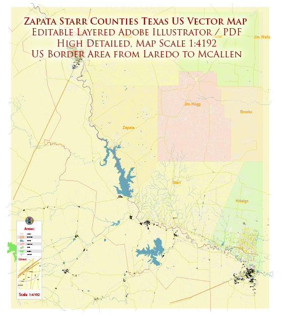
Zapata and Starr counties in Texas, USA, are located in the southwestern part of the state and are known for their unique geological and topographical features. The region’s geology and landscape are influenced by a combination of factors, including the Rio Grande River, sedimentary rock formations, and arid desert conditions. Here’s a description of the geology of Zapata and Starr counties:
- Sedimentary Rocks: Much of the geology in Zapata and Starr counties is dominated by sedimentary rock formations. These rocks were deposited over millions of years and are composed of various layers of sandstone, limestone, shale, and siltstone. These rocks often contain fossils that provide insights into the region’s ancient history.
- Rio Grande Rift: The Rio Grande River flows along the border between the United States and Mexico, and it has played a significant role in shaping the geology of the region. The river has cut through sedimentary rocks, forming deep canyons and gorges in some areas. The Rio Grande Rift is a prominent geological feature in the region, representing a zone of extensional tectonics.
- Alluvial Deposits: Along the banks of the Rio Grande and its tributaries, there are alluvial deposits that have been laid down by the river over time. These deposits are made up of sediment, silt, sand, and gravel carried by the river and can support agricultural activities.
- Desert Landscape: Zapata and Starr counties are part of the Chihuahuan Desert, characterized by arid conditions and low annual precipitation. The desert landscape is dotted with mesas, arroyos (dry riverbeds), and desert scrub vegetation. This type of landscape is typical of the southwestern United States and northern Mexico.
- Fossils: The sedimentary rocks in the area contain fossils, including those of ancient marine organisms like ammonites and other marine life. These fossils are remnants of the time when the region was submerged under a shallow sea.
- Potential for Oil and Gas: Some parts of Zapata and Starr counties have been explored for oil and natural gas deposits, as the region is known for its potential in the energy sector. However, the extraction and exploration of these resources have not been as significant as in other parts of Texas.
- Aquifers: The region relies on underground aquifers for its water supply. The Edwards-Trinity Plateau Aquifer and the Gulf Coast Aquifer are the primary sources of groundwater in these counties, providing water for agriculture and local communities.
The geology of Zapata and Starr counties is shaped by a combination of geological processes, climate conditions, and the presence of the Rio Grande River. The region’s arid desert environment, sedimentary rock formations, and unique topography make it a distinctive part of the Texas landscape.


 Author: Kirill Shrayber, Ph.D.