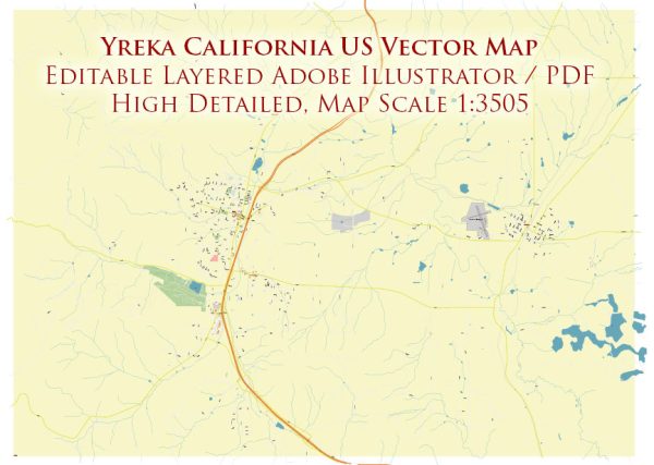
Yreka is a city in Siskiyou County, California, and its principal streets include the following:
- Miner Street: Miner Street is the main street running through the heart of Yreka. It’s known for its historic buildings, shops, and restaurants.
- Broadway Street: Broadway Street is another important street in Yreka, running parallel to Miner Street. It also features a variety of businesses and services.
- Oregon Street: Oregon Street intersects with Miner Street and serves as a major north-south thoroughfare in Yreka.
- South Main Street: South Main Street runs south of Miner Street and contains various businesses and residential areas.
- North Main Street: North Main Street runs north of Miner Street and is home to a variety of businesses and residences.
- Montague Road: Montague Road is a significant road in Yreka that leads to the neighboring city of Montague.
- West Miner Street: West Miner Street runs west of the downtown area and provides access to different parts of the city.
- Fourth Street: Fourth Street intersects with Miner Street and provides another route through Yreka.
Please note that this is not an exhaustive list, and there are other streets and avenues throughout the city. If you’re looking for specific locations or directions in Yreka, it’s advisable to use a map or GPS for precise guidance.


 Author: Kirill Shrayber, Ph.D. FRGS