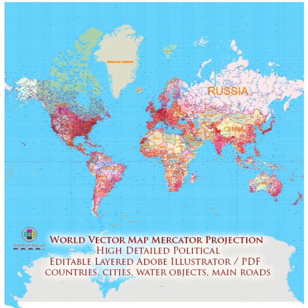
The Mercator projection is a cylindrical map projection that was developed by the Flemish cartographer Gerardus Mercator in 1569. This projection is known for its ability to represent lines of constant true direction, making it particularly useful for navigation and maritime purposes. However, it has significant distortions, especially in the polar regions, that make it less suitable for certain other uses, such as accurately representing areas and distances.
Here’s a brief history of the creation and development of the Mercator projection:
- Gerardus Mercator (1512-1594): Gerardus Mercator was a 16th-century Flemish cartographer, geographer, and mathematician. He is best known for his work on map projections and is credited with the development of the Mercator projection. His motivation for creating this projection was to provide navigators with a way to represent the Earth’s surface that preserved angles and, therefore, directions. This was especially important for sailors who needed to follow a constant compass bearing on long sea voyages.
- The Mercator Projection (1569): Mercator first described and used the Mercator projection in his world map titled “Nova et Aucta Orbis Terrae Descriptio ad Usum Navigantium Emendate Accommodata” in 1569. The Mercator projection projects the Earth’s surface onto a cylinder, which is then unrolled into a flat map. The projection is conformal, meaning that it preserves local angles, making it suitable for navigation.
- Navigational Advantages: The Mercator projection became immensely popular for navigation during the Age of Exploration. It allowed sailors to draw a straight line (a rhumb line) on the map that represented a constant compass course, simplifying navigation over long distances. This made it easier to plot and follow courses across the oceans.
- Limitations: While the Mercator projection excels in preserving angles and directions, it has significant area distortion, especially near the poles. This means that areas, particularly those at high latitudes, are significantly exaggerated in size. This limitation led to criticism of the Mercator projection for its inability to accurately represent relative sizes of landmasses.
- Modern Usage: The Mercator projection is still widely used today, especially in maritime charts and for maps of mid-latitude regions. However, it is less suitable for world maps intended for general use where accurate area representation is important. Many other map projections have been developed to address the issues of area distortion that are present in the Mercator projection.
In summary, Gerardus Mercator’s creation of the Mercator projection was a significant advancement in cartography, especially for navigation. While it has limitations in terms of area distortion, it remains an important tool in cartography, particularly for maritime purposes.


 Author: Kirill Shrayber, Ph.D. FRGS